Written Directions
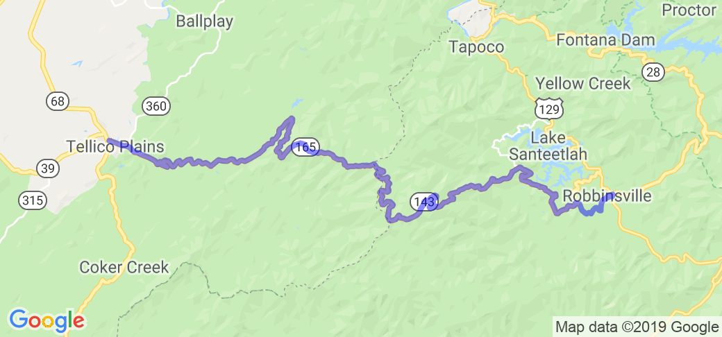
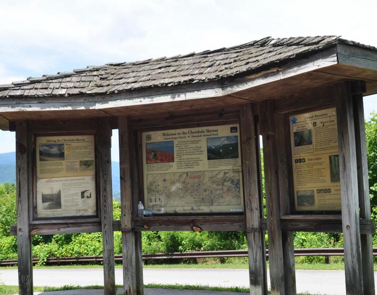
To take the Cherohala Skyway, just get yourself to Tellico Plains, TN which is located about 25 miles south of I-75 between Knoxville and Chattanooga, TN. From there you take Highway 165 east which at the TN/NC border will change names to "National Forest Road." Its a little difficult to describe at that point but I recommend you take a right on to Cherahala Skyway and take that only about a mile and then you want to take a left on to "National Forest Road" which will initially have you running north east but overall will take you east through the mountains and into Robinsville North Carolina. Overall, just make sure you follow the signs to Robinsville, NC.
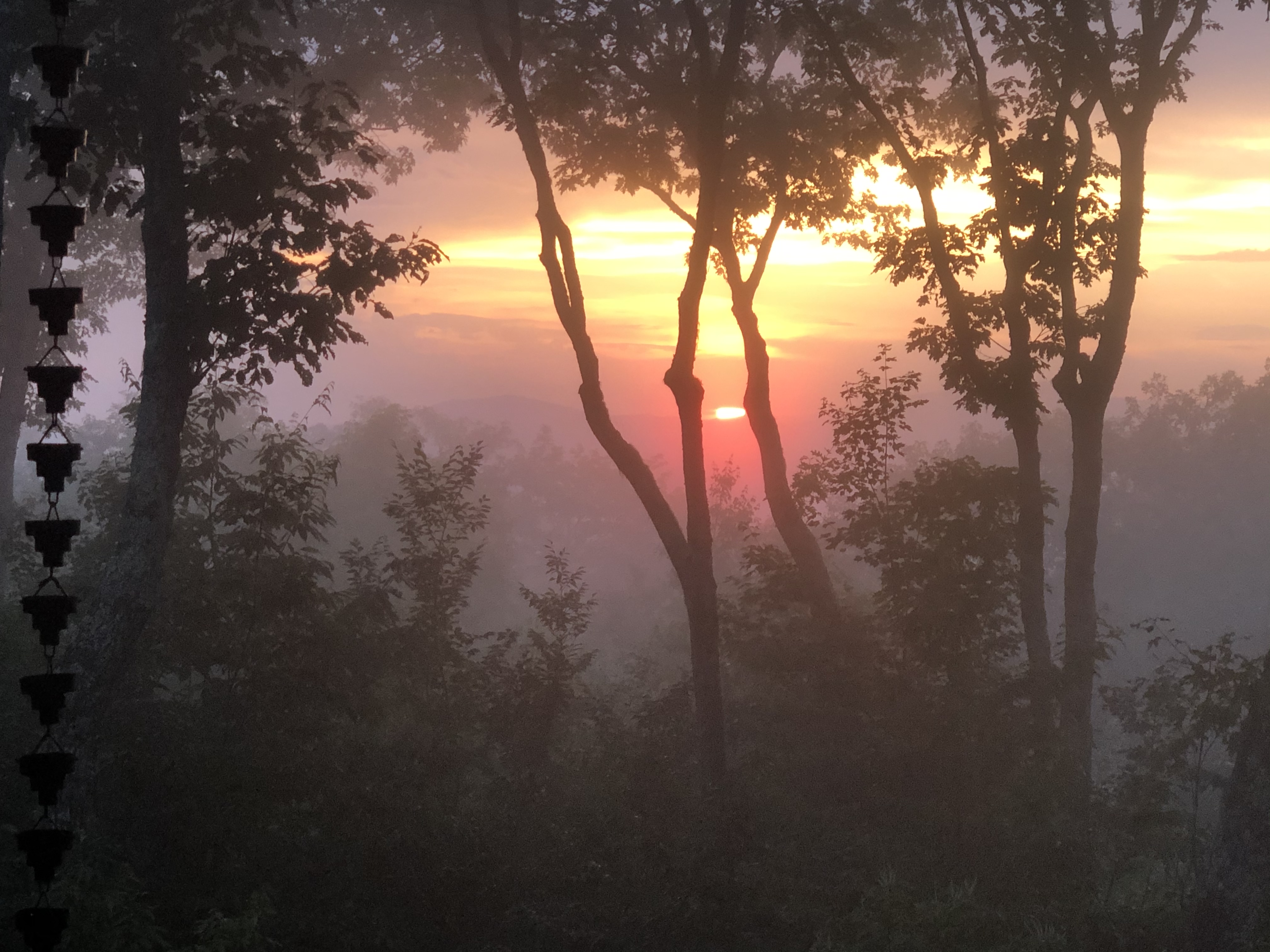
Scenery
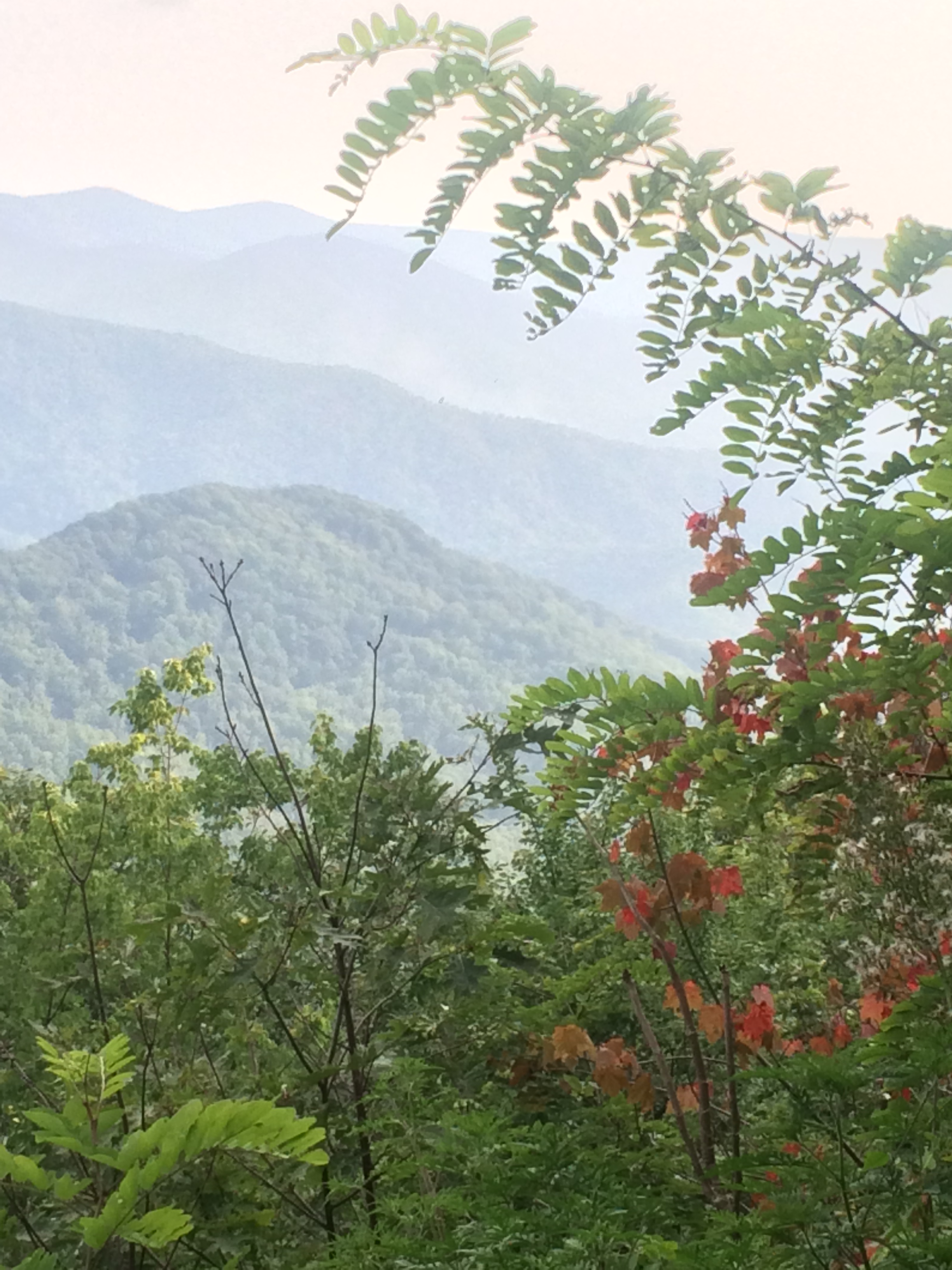
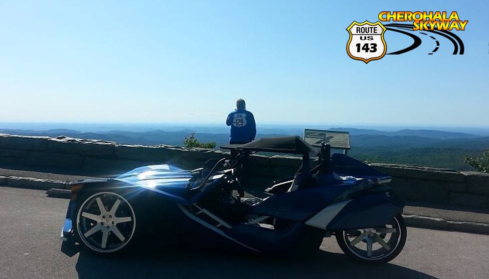
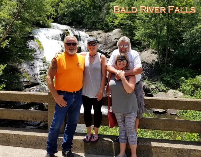
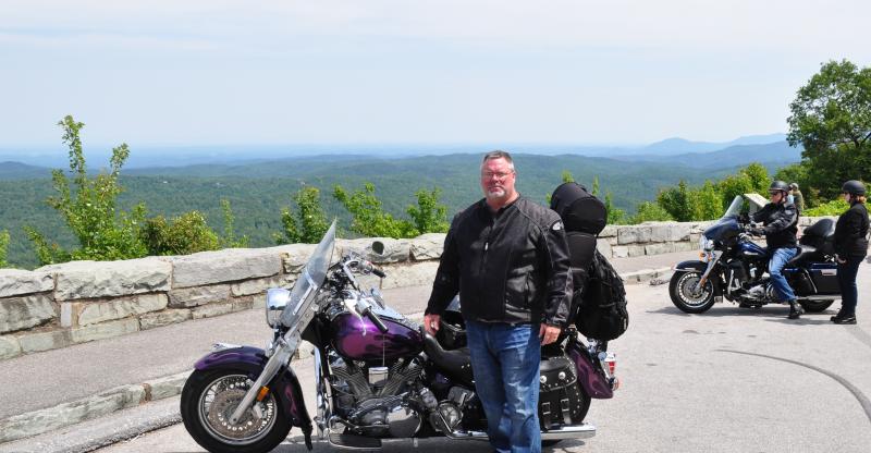
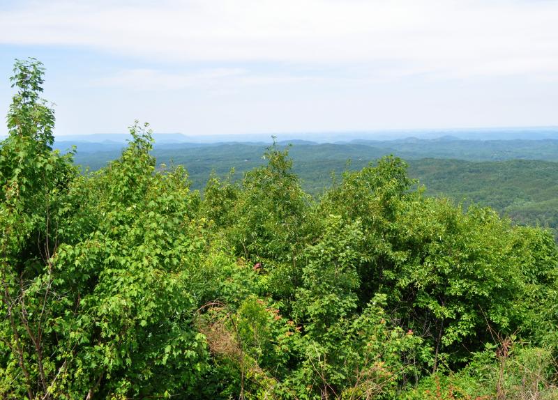
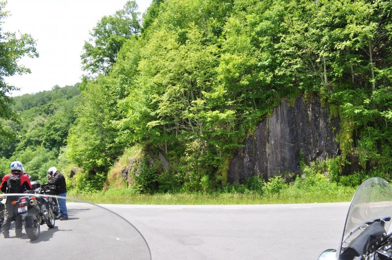
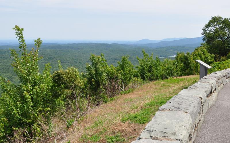
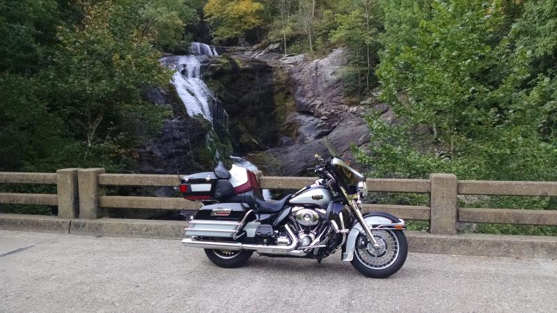
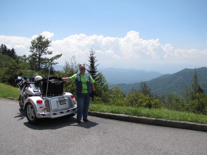
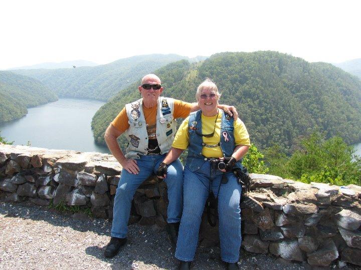
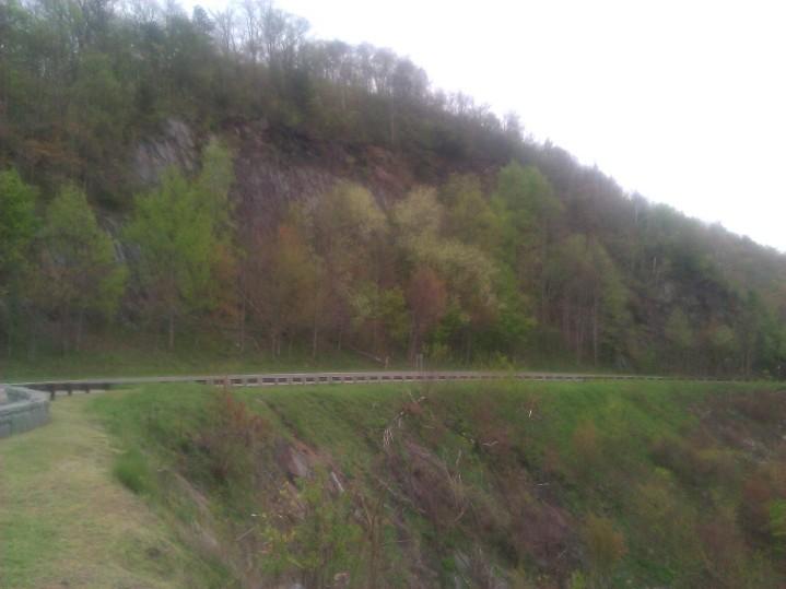
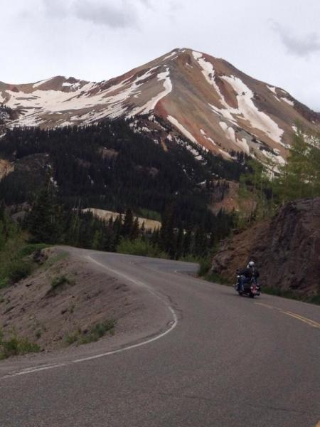
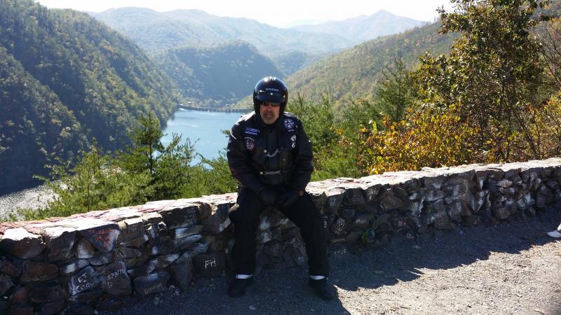
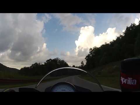
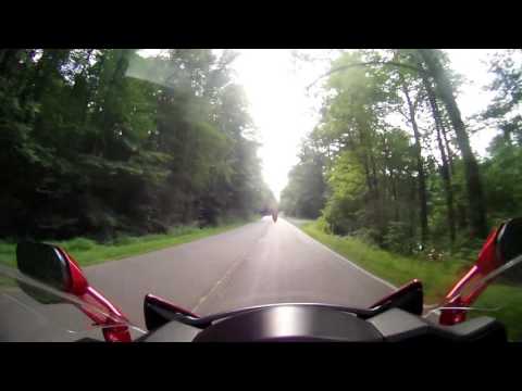
This cyclist's dream road connects Robbinsville, North Carolina, with Tellico Plains, Tennessee. It can be desolate at night and extremely dangerous in the winter months. There are no facilities other than restrooms for the entire 40 miles. There is little evidence of civilization from views that rival or surpass any from the Blue Ridge Parkway. The Tellico River, at the lower elevations on the Tennessee side, is famous for it's trout fishing, and when the water is up, can be quite a challenge for canoers and kayakers. The river leads you to the sleepy town of Tellico Plains where you can gas your tank and feed your belly.
Update from Leann (3/19/12): The Cherohala Skyway starts in Tellico Plains, TN and ends in Robbiinsville, NC. From the city limits of Tellico Plains to the city limits of Robbinsville is a 51 miles trip
Drive Enjoyment
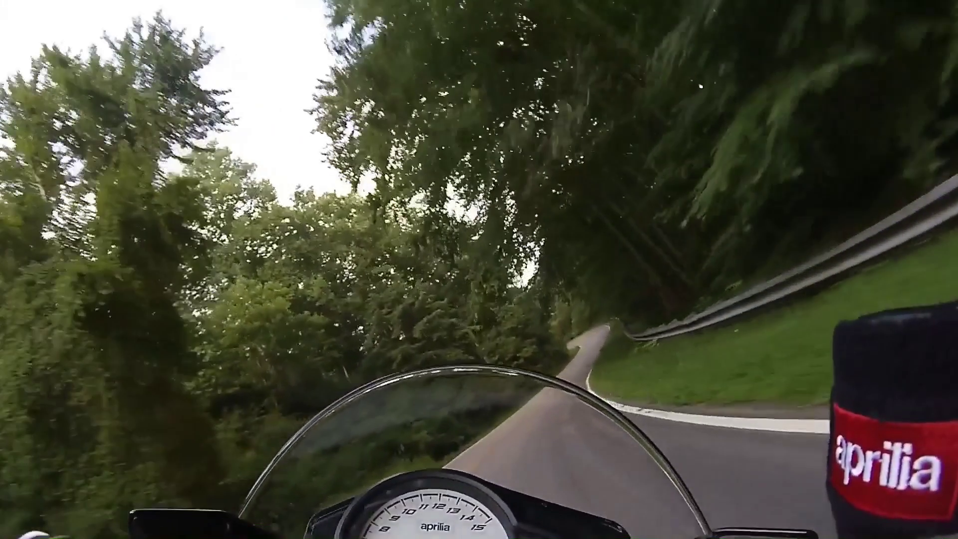
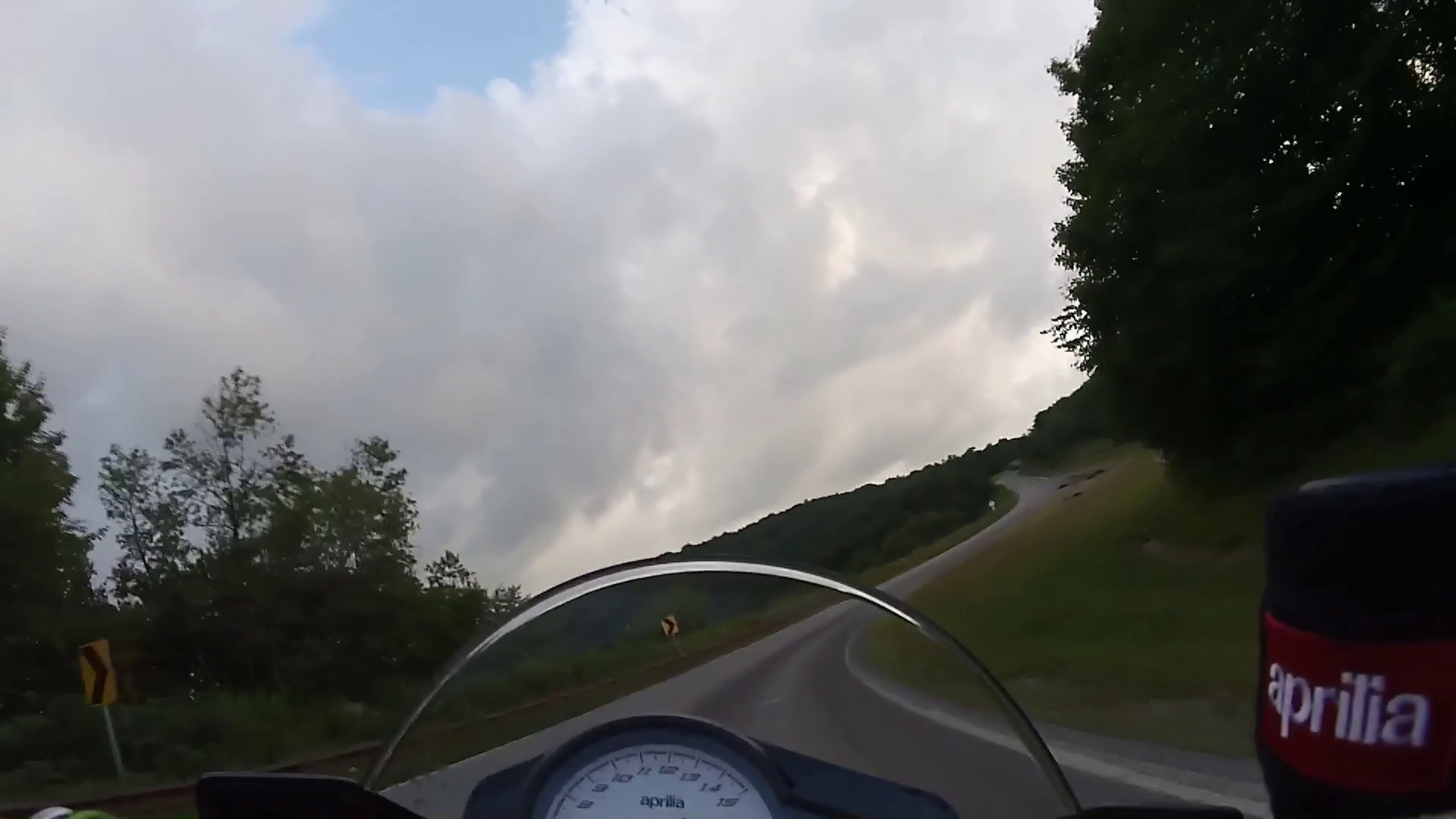
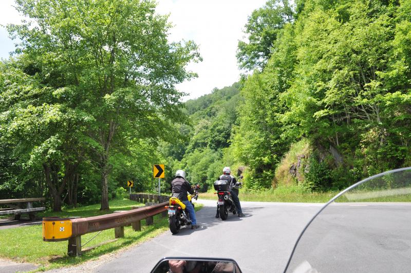
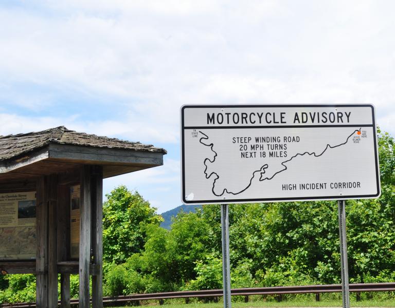
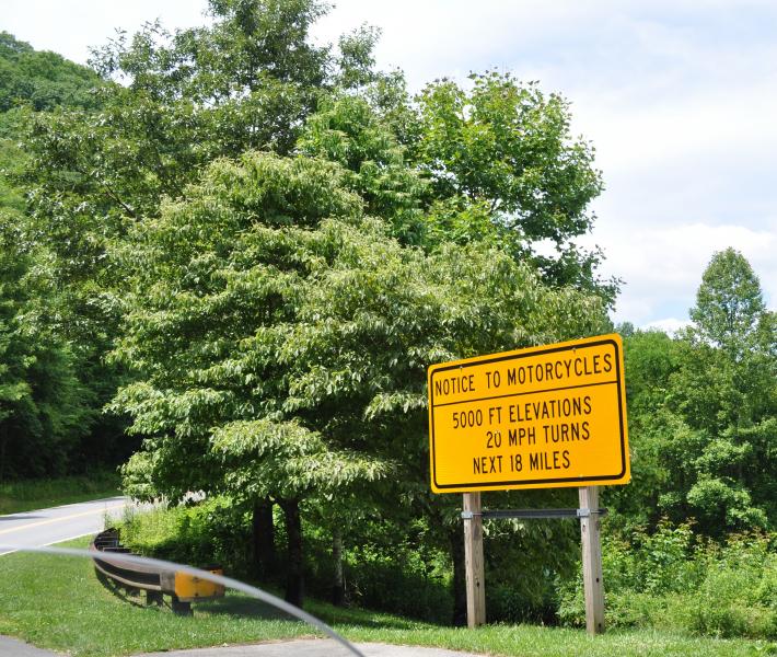
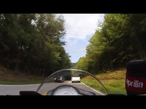
THE CHEROHALA, WITH ITS SWEEPING CURVES, WILL TEMPT YOU TO RIDE FASTER. THEN YOU WILL BE IN ONE OF THE TIGHTER CURVES WITH TOO MUCH SPEED. DEATH AND SERIOUS INJURY CAN RESULT.
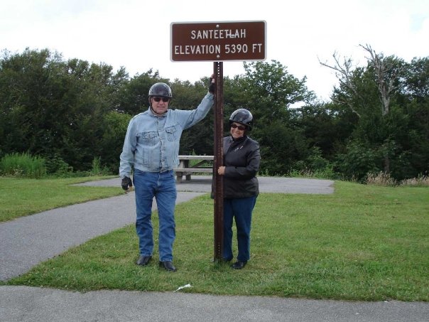
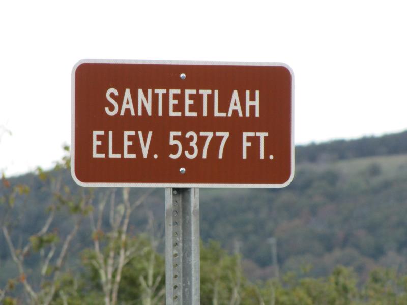
Update from Leann (3/19/12): This road has alot of twisties and sweeping curves. The road is in excellent condition and is well maintained. Often referred to as "a drive among the clouds" you will drive to elevations of over 5400 feet high.
Tourism Opportunities
Nothing on route but gas and eating at both ends.
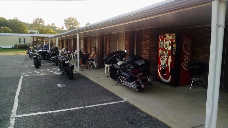
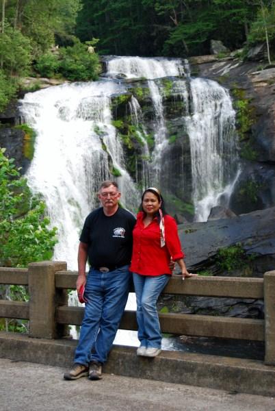
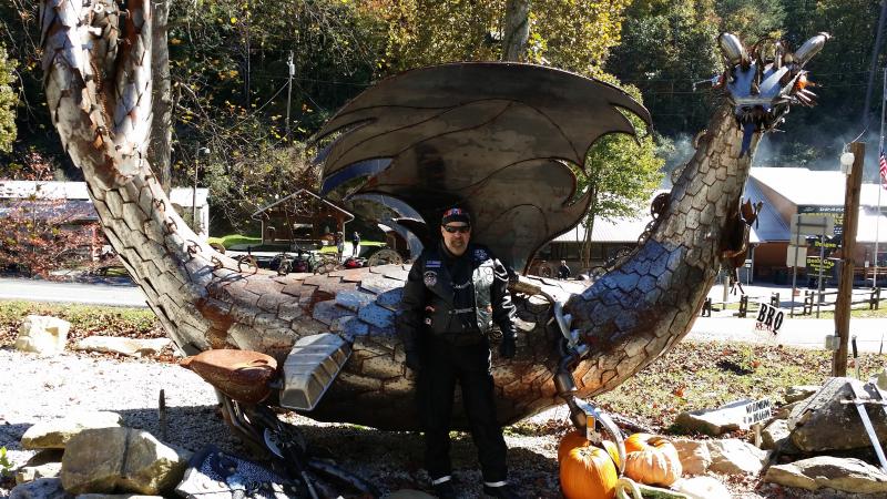
Update from Leann (3/19/12): The town of Tellico Plains has many eateries, Kat's Deli is a great place to grab a bite and located right on the river. Lodging in Tellico is limited to cabins and camping but a hotel is at the end of the Skyway in Robbinsville. While in Tellico Plains make sure to stop by the visitor center to get your free maps and information from the knowledgable and friendly staff. Next door to the Visitor Center you will find The Charles Hall Museum which is a must see for anyone traveling through town. The displays in the museum are beyond words and trust me when I tell you, you will be shocked to find such a collection in this town. You can also pick up your souvenirs, tshirts, and refreshments in the museum gift shop.
Motorcycle Road Additional info
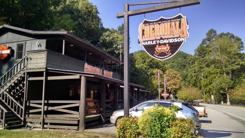
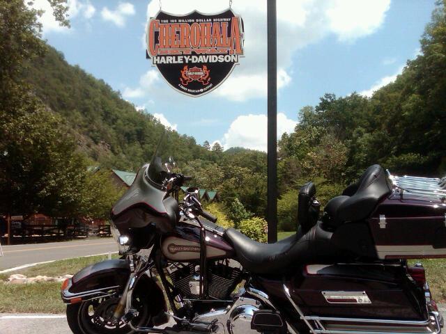
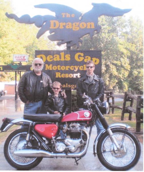
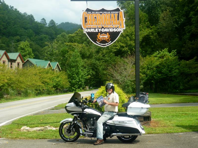
Update from Leann (3/19/12): Also, on the Robbinsville side of the Skyway you will find the world famous Deal's Gap (aka The Dragon) crosses over the Cherohala Skyway. Make a weekend of it and kill two birds with one stone!
- View the weather forecast for this area from Yahoo weather . - Cades Cove web site - Great Smoky Mountain National Park web site


 Write a review


 | United States")

 | United States")


 | United States")


