Written Directions
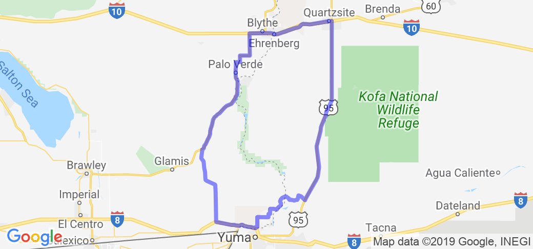
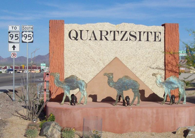
Start at Quartzsite, just off Interstate 10, about 20 miles from the California border. From the main stoplight in town (there are only two), head south on State/U.S. Highway 95 (mile marker 109). At mile marker 77, called Stone Cabin, is a location for a wide pullover to stretch. At mile marker 45, turn west towards the Army Proving Grounds. Cross over the controlled channel of the Colorado River and follow the zig-zagging route S-24 for 25 miles where you will be by I-80 and just north of Yuma. Bear left at the final stop sign into town to gas or stop for lunch. Return to I-80 westbound, to exit 159, turn right (north) on S-34 (Ogilby Road), towards Blythe, CA. Proceed north 24 miles to the junction of S-78, turn right and continue north 45 miles to I-10. Turn right (east) and proceed to Blythe (on the north side) or 27 miles back to Quartzsite.
Scenery
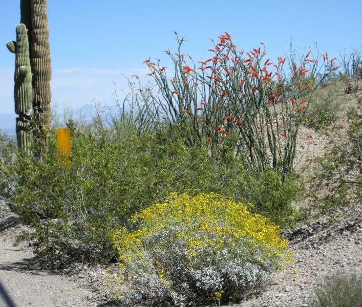
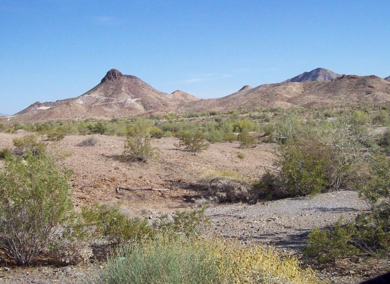
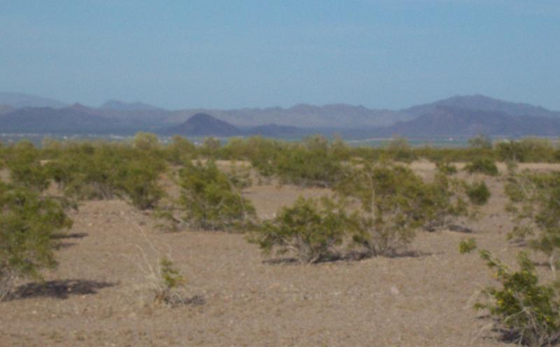
This route is through a rugged, often hot part of Arizona. This area was so barren at one time that the U.S.Army on one occasion in the late 1800s experimented with using camels for transportation (which is where the camels in the town sign come from). Beauty is in the eye of the beholder, as they say, so on this route one must look at the surroundings for what they are-survivors in harsh climate. As you head south on 95, enjoy the silhouette of the rugged Kofa Mountains to the east and the Chocolate Mountains to the west. The vegetation begins as mostly creosote bushes with scraggly catclaw acacia and ironwood in the dry washes. Interestingly, ironwood is so heavy and dense, it won't float. As you head south, you will gradually, and only occasionally see the giant cactus called the saguaro. You can recognize its telephone pole shape and its arms raised as if in surrender. It's the state cactus of Arizona, and quite amazing. I can be 80' high and weigh several tons. When the occasional rains come, the plant will soak up as much moisture as it can and will slightly "bloat" out.
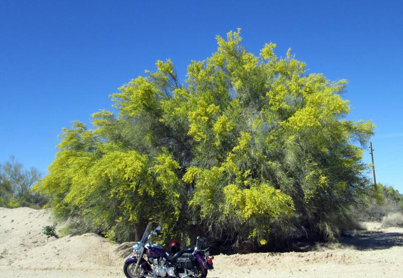
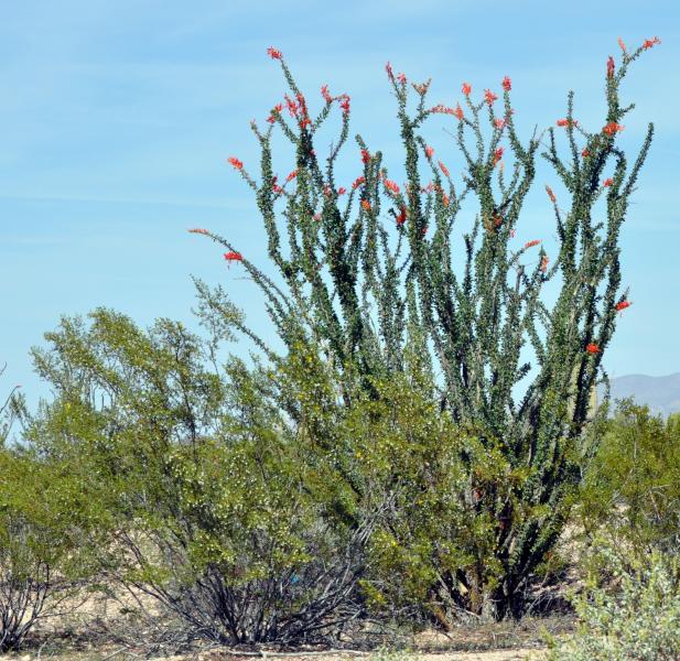
More of the plants that become more numerous as you head south are the green trunked palo verde tree and the ocotillo. The ocotillo looks like an octopus turned upside down. If you catch it in the spring after several rains, it will have bright flowers blooming on the end of its spiny, vertical branches.
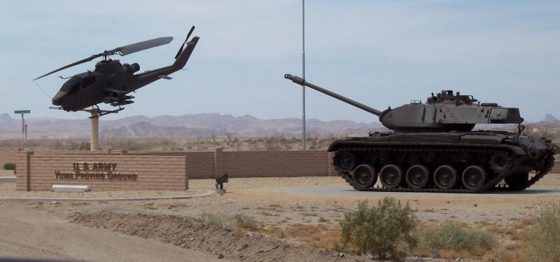
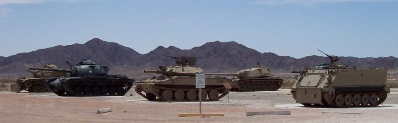
South of Stone Cabin, and to the west, is the Army Proving Grounds area. You may see troops, or vehicles on training activities. I have seen large tanks booming along the trails just a quarter of a mile off the highway. At mm47, Martinez Lake Road, you may want to turn west if you have just seen any paratroopers dropping from the sky. Their practice landing area is 5 miles up this road.
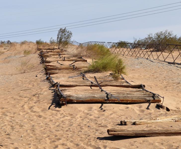
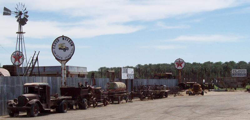
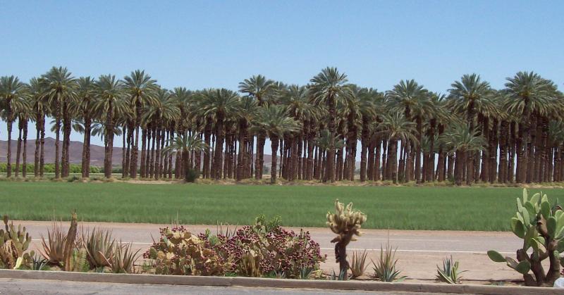
As you turn west at mm45 towards the entrance to the Imperial Dam (on the Colorado River), you will pass exhibits of tanks and large guns on display. Then you'll pass wetland with tules growing more than 6' high and a lot of tamarisk (which is an imported plant invading most of the waterways of the southwest). Frequently you will see the wild burros that wander around. Keep heading south and west until you get to the groves of date palm trees. They're the ones with the long fronds, as opposed to the fan palm with the fan shaped leaves. If the Imperial Date Farms store is open, stop for a date shake. You'll never forget the taste!
Stop if you need to in Yuma. This is a pretty large city. It always has been important. Even a hundred years ago, it was the center of trade. Check the article at this link (https://searchwarp.com/swa815458-The-Desert-Lifeline.htm) for some info on this subject.
As you head north on S-34, there is more desert. Along here are more washes and the views get more interesting the further north as the foothills are undulating, have many layers of color in the strata. Along this stretch is a seemingly endless series of roller-coaster hills that is the road. It's fun to ride. There is also more vegetation and farm fields. Once on I-10, the route is interesting with the jagged structure in the hills along the roadway.
Drive Enjoyment
Most of the road surface is a 5. All the long desert roadways are excellent quality and pretty straight. The only bad stretch is just south of the Imperial Dam for about 10 miles. Along here, it is very rugged, but fully paved.
Tourism Opportunities
Food, gas and lodging are at both the north and south ends of this route, but there aren't any m.c. shops except in Yuma. The stretch between Quartzsite and Yuma has no services, nor is there much from Yuma until Blythe on the return except at Palo Verde, about 53 miles north of I-80. In Quartzsite, Silly Al's is a popular place to eat.


 Write a review


 | United States")


- Ranch Roads 335, 336,337a | United States")


 | United States")


