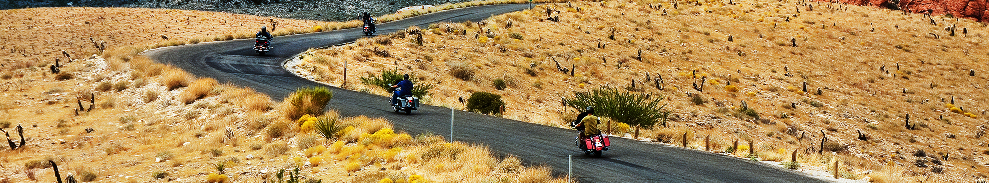
Motorcycle Roads in Washington
"Many of the country's best motorcycle rides fall within the borders of Washington (WA) state. The state is blessed with a vast diversity of breathtaking scenery including the Pacific coast, the Olympic Peninsula, the Cascade Mountains, the incredible Columbia River basin, and the arid rolling hills of eastern Washington. Although areas west of the Cascades are generally heavily populated, many outstanding motorcycle roads abound if you know where to look. The Cascades offer great mountain motorcycle riding along with wonderful destinations like Mt. Rainer and Mt. St. Helens State Park. To the south the areas around the Columbia river are home to endless magnificent winding motorcycle roads.
"

You'll be amazed by 65 miles of old growth forest thru a national park with alpine vistas climbing from sea level to 8000 ft. and ending up in a great town Winthrop Washington. This is truly one of…
4.83 out of 5
Rider Rating


The scenery on this road is amazing. You'll follow along the Snake River out to Asotin, then twist and climb up to the top of the Butte. To the southeast you will have some views of the cliffs of the…
4.68 out of 5
Rider Rating

"this is, in my opinion, one of the best rides in the entire NW as far asgood sporting rides go! sure there are others that have more turns
per mile (mt. st helens & hwy 18, shaniko to fossil)…
4.83 out of 5
Rider Rating

Most of the scenery on this ride is made up of the million dollar homes situated within the community. If you ride slow, you will see many, but be careful with the sight-seeing, the road is very…
3.56 out of 5
Rider Rating

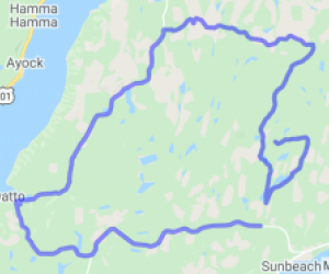
If you like rides that give you views of lakes & rivers, this will be a great ride for you as you'll see Silver Lake, Coldwater Lake, Spirit Lake, a few rivers. And to top it all off, amazing…
4.36 out of 5
Rider Rating
 | United States")
I can't speak enough about the scenery, but I am partial to the beauty of Mt. Rainier, she is one of the most Iconic symbols of the Northwest and the forest, lakes, rivers and canyons around you are…
4.67 out of 5
Rider Rating

"This road is my "amusement park rollercoaster" that I love to ride from east to west and turn around at the chain up area on the west side and ride back again. Maybe even several times if I have…
4.33 out of 5
Rider Rating

In a state where water, mountains & trees always add a little flavor, this route combines all 3 to make a spectacular day trip. I've ridden a lot and on a sunny day, you can not beat this ride…
3.54 out of 5
Rider Rating

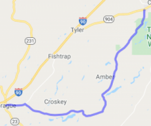
Hugs the Yakima River fantastic Rock formations, Basalt rock formations while traveling through the Ellensburg Canyon. Along the route Deer & Big Horn Sheep can be seen at different times plus…
4.44 out of 5
Rider Rating

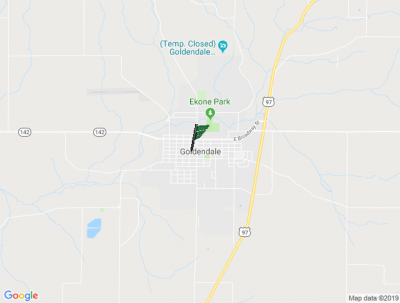
Road travels through Gifford Pinchot National Forest so it's your typical lush forest scenery with trees lining both sides of the road.
4.88 out of 5
Rider Rating

You can start this ride from either end. I suggest starting from Mukilteo and catching the Ferry to Clinton. You will experience open fields to twisty mountain curves on Washington's beautiful…
3.7 out of 5
Rider Rating

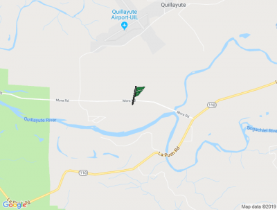
The scenery from exit 255 is fair while being able to see Mt Baker at different spots along the way. After you get on Hwy 9/542 from Deming the scenery improves, and from Glacier to the base road for…
4.86 out of 5
Rider Rating

This route starts in Sumner and follows Hwy 410 on to Hwy 165. The route is very scenic through the Orting valley, running beside and crisscrossing the Carbon river and ending at the Ranger Station.…
3.67 out of 5
Rider Rating
 to Mt. St. Helens Nat'l Forest | United States")
The two-lane is wooded, interspersed with farmland. Many of the turns are semi-banked & posted at 25mph. Several "crests" offer a sudden view of what is left of Mt. St. Helens. There's a one-lane…
4 out of 5
Rider Rating

Beautiful scenery abounds throughout on this road with lots of variety. Expect lots of forests, spectacular views of the Columbia river, especially at Cape Horn (pull over for this one), farmland,…
4 out of 5
Rider Rating

This route starts out in the Green Valley, winding through the farmlands along the Green River, before climbing up out of the Gorge to Black Diamond. Proceeding east, it crosses the Gorge Bridge,…
4.14 out of 5
Rider Rating

The star of this show is the 14,411 ft Mt. Rainier, the highest peak in the entire Cascade mountain range. This mountain is a dormant volcano with a distinctive dome shaped peak that is completely…
5 out of 5
Rider Rating

Whether it is the light house at dash point or the mountain view from cliffside restaurant or cruising next to huge tanker ships in the port or the urban environment of tacoma or the restaurant row…
4 out of 5
Rider Rating

First part of the drive goes through some flat farm lands. The roads are wide open, you can often see hang-gliders descending from Blancard Mountain. Then when you reach the base of the mountain, you…
3.67 out of 5
Rider Rating

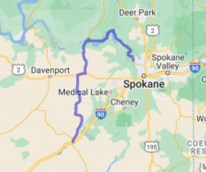
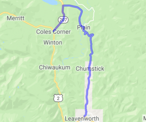
During the initial part of the ride, you will see the Snohomish River bed and you will drive through countryside. Once in US 2, you will drive up stevens pass and find the Wenatchee river on your…
4.2 out of 5
Rider Rating


 | United States")