

Motorcycle Route Author

By Guest (0 McR Points)
on Nov 30, 2004


 Write a review


 | United States")


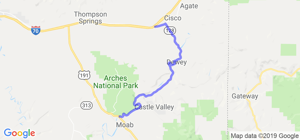
- Ranch Roads 335, 336,337a | United States")


 | United States")


 | United States")


