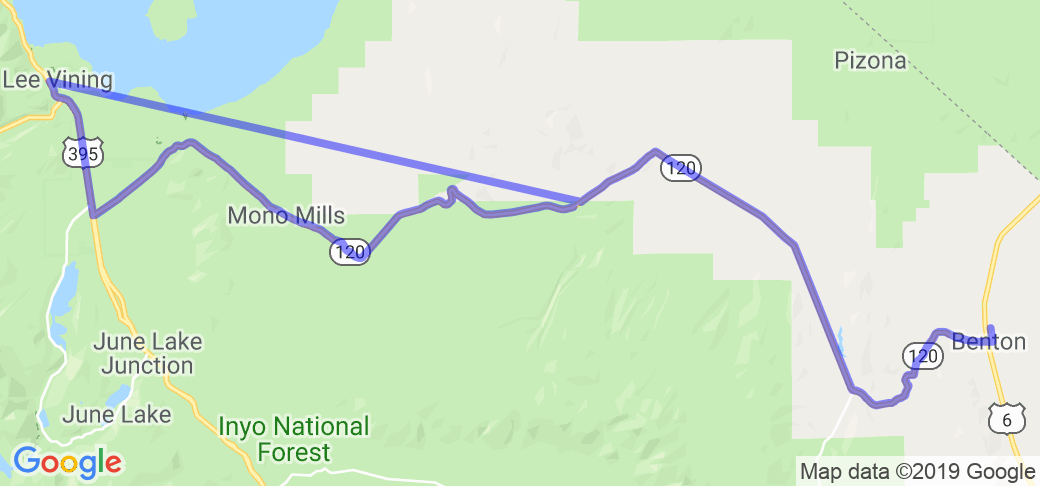
This route is located about 50 miles east of Yosemite National Park. Its easy to find if you just find the starting point in Lee Vining, CA. Just south of Lee Vining and Mono Lake, route 120 crosses US 395. You want to take 120 southeast (120 west is Tioga Pass to Yosemite National Park) about 47 miles to Benton, CA and highway 6. From here you can take highway 6 south to Bishop, CA or north east to highway 95 to Nevada.
Scenery
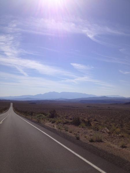
You will pass through Ponderosa pines, into wide open plateaus with snow capped mountains all around.
Drive Enjoyment
The road has gradual sweeping turns, long straight-aways for a little speed if you like, and roller coaster hills that will take your breath away. The road is in great shape
Tourism Opportunities
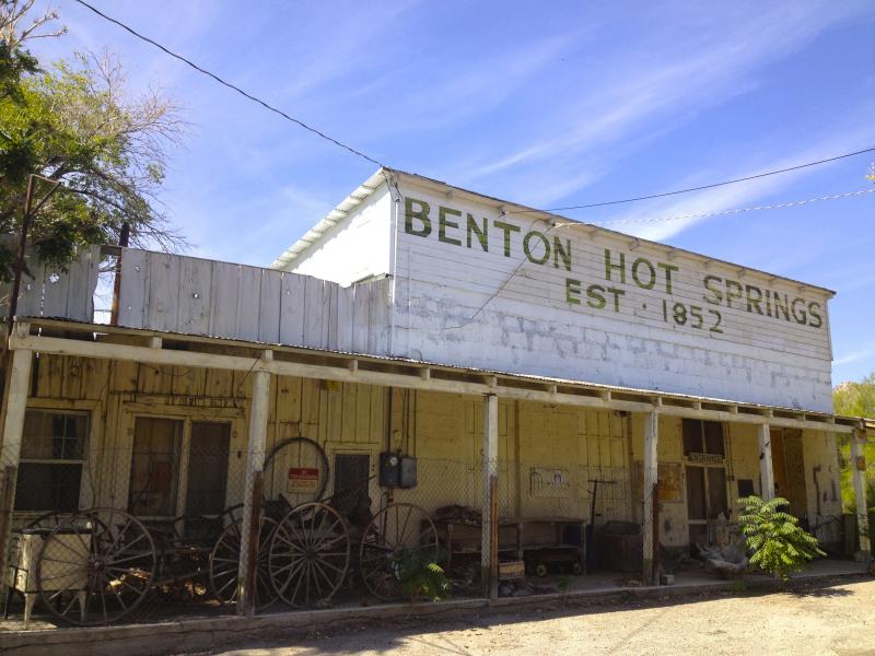
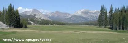
There is a gas station and restaurant at the beginning and the end. Nothing in between except for one ranch. It's only 47 miles. You'll end up at the far east side of Yosemite National Park where you could spend a week taking it all in.
Motorcycle Road Additional info
- View the weather forecast for this area from Yahoo weather .
This is a great road. The road was not leveled out so you get a lot of ups and downs along with the curves. The scenery was amazing, like being on a different planet. I'll be back to this, for sure.
Was this road review helpful?
Thumbsup
0 riders found this road review useful
ChanceD2
6 McR Points
Motorcycle Type : Other
Was this road review helpful?
Thumbsup
0 riders found this road review useful
ketchumr
0 McR Points
Motorcycle Type : Cruiser
Great road as stated by others, low traffic, good road condition and some great scenery
Was this road review helpful?
Thumbsup
0 riders found this road review useful
Guest
0 McR Points
Motorcycle Type : Cruiser
I have travelled this road three times and can count on one hand the number of vrhicles I encountered. For a good portion of time you're in rolling hills above 8000 feet. A real relaxing ride. Whenever in the area I will not pass up the chance to ride it.


 Write a review


 | United States")


- Ranch Roads 335, 336,337a | United States")


 | United States")


