Written Directions
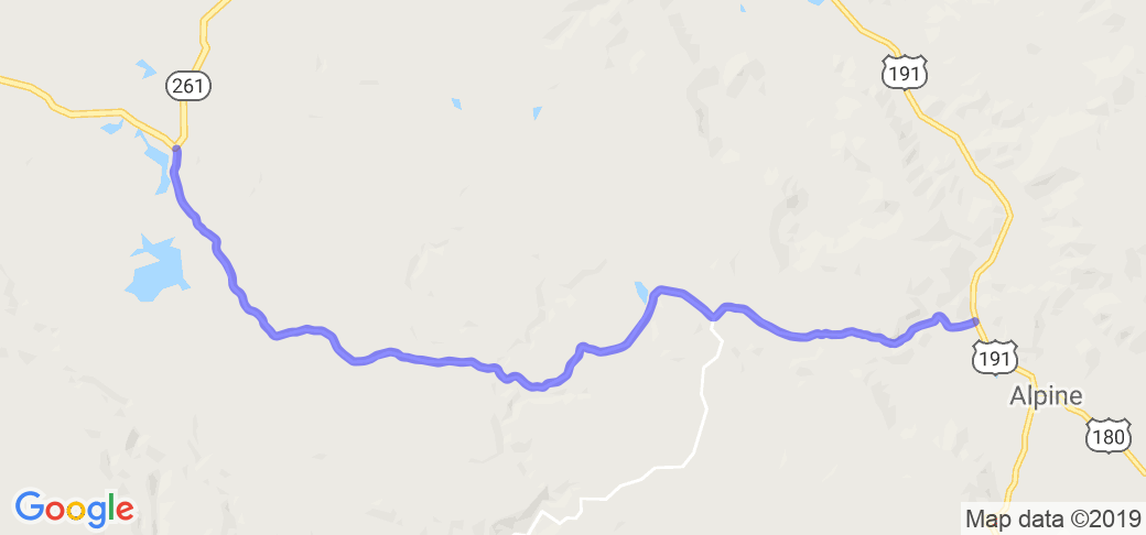
Note: on the eastern end of this road, Three Forks Road is also referred to as National Forest road 249 and starts 1.8 miles north of Alpine. The road travels to intersect with AZ Rt 273 and Rt 261.
Scenery
This is newly paved, two lane National Forest road that traverses a section of the National Forest damaged by a forest fire in 2011. The road provides a rare glimpse into the devastation of a wide ranging forest fire and the subsequent rebirth of a forest.
Numerous scorched, yet still live, trees interspersed among thousands of acres of fire ravaged and dead trees.
Drive Enjoyment
Lots of twisties as it winds it's way along a forest stream. The pavement is perfect as it was newly paved after the forest fire.
Tourism Opportunities
Road side amenities are non-existent. A few camping pull offs dot the road but no paved areas exist off the highway.
Motorcycle Road Additional info
This is a seasonal road and is closed during the winter. Major mapping services still show the road as dirt/gravel.


 Write a review


 | United States")


- Ranch Roads 335, 336,337a | United States")


 | United States")


 | United States")


