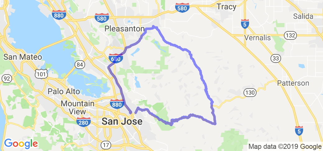
Written Directions
Start out on Alum Rock Ave, near Highway 680 in San Jose (at 2227 Alum Rock Ave is A Bite of Wyoming coffee shop & restaurant - a good place to meet) Go NE on Alum Rock (which is route 130), toward the hills. Just as you get up into the hills, you'll see a sign for Mt. Hamilton Road (which is also route 130) directing you to the right. Take that right and you'll be climbing up all the way to the top on that same road. The Observatory is at the peak (see Amenities)Up and over the top, Mt. Hamilton Road changes into San Antonio Road (it's still Rte 130, the same road, though)until you get to the turnoff to the right (which is where Rte 130 continues into Patterson) and it changes into Mines Road. This is where you'll see The Junction Bar & Grill (Amenities again.) Stay on Mines until you drop down out of the mountains into Livermore. Left on Tesla Rd, left on Concannon Blvd, then left again onto Isabel Ave. (Rte 84) which will take you back to Highway 680. Go South on 680 back into San Jose and at Alum Rock Ave, you'll be back where you started.
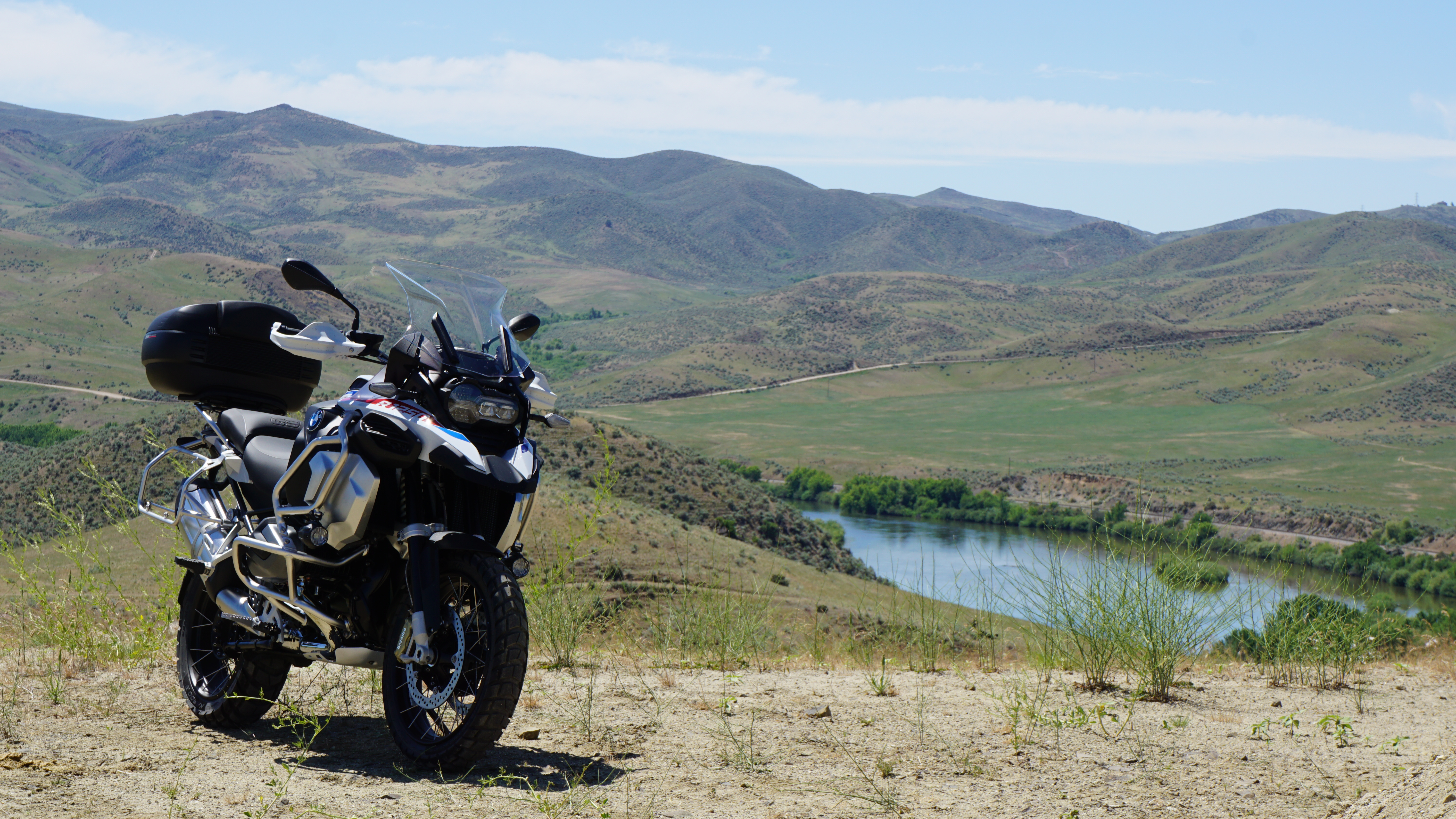
Scenery
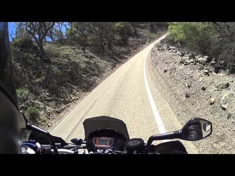
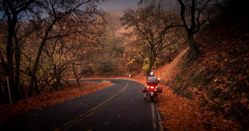
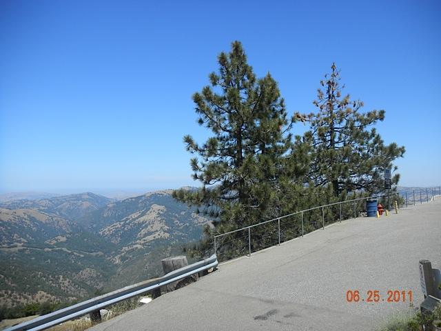
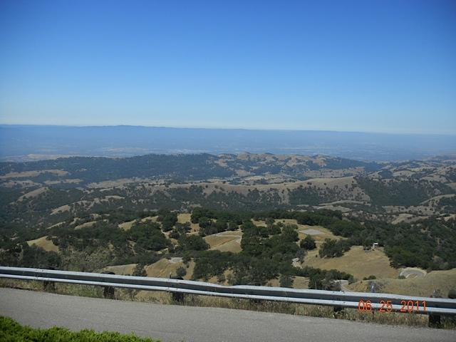
Scenery is fantastic! The route goes up a mountain then back down the other side, so you have an array of different landscapes you travel through: Meadows, forested areas, a bit of farmland, and the views as you ascend just keep getting better and better until you reach the top where you have a panoramic, 360 degree view of the surrounding area. Breath-taking!
McR user "trstark66" added the following information in Aug of 2021: This road give you some excellent canyon vistas and views of Silicon Valley and the Bay. Summer can be quite hazy due to forest fires around the state but the road remains fun! If you ride in the winter you'll see more greenery, better views, and the occasional running creek.
Drive Enjoyment
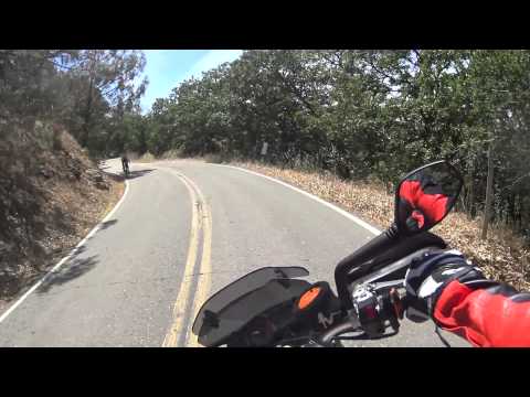
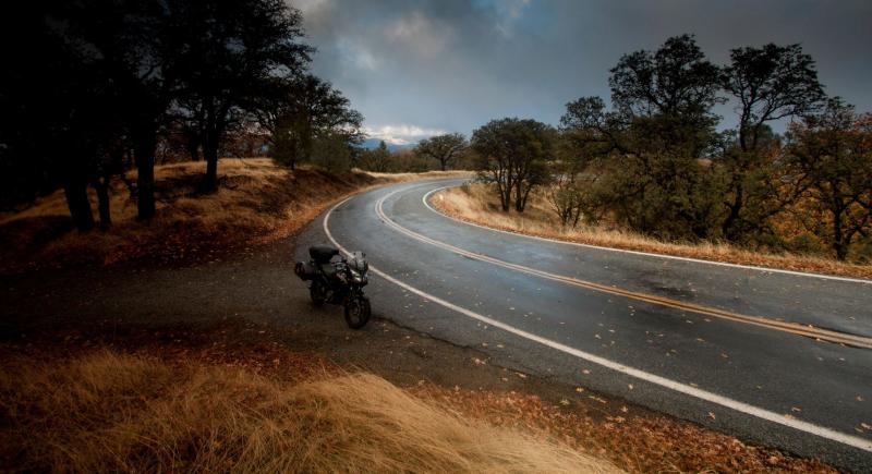
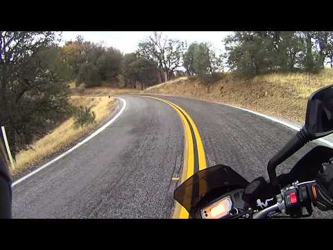
The road quality gets 5 plus stars for the downhill section but I gave it an overall 4 because of some of the hazards (described ahead). It begins as steep and windy, then levels and smooths out as you descend down the back side. On the first leg (ascent) there are three things to watch out for. First is small amounts of fallen rock and gravel in the road, easily avoidable if you're not flying up the road. Second is the potholes. There are many and some are not easily seen until you're right on (or sometimes IN) them. Finally, watch out for the bicyclists. There are a LOT going up (slowly) and going down (sometimes approaching Mach 4!) Fortunately, being on a motorcycle makes it easier to share the (sometimes narrow) road with them.
McR user "trstark66" added the following information in Aug of 2021: Road is very good quality with lots of banked switchbacks and blind corners. PLEASE RIDE SAFELY! You'll almost certainly encounter wildlife while you're out so be alert to that. There are about 6 cattle grates across Route 130 and two are on curves, so watch your speed to maintain traction.
Tourism Opportunities
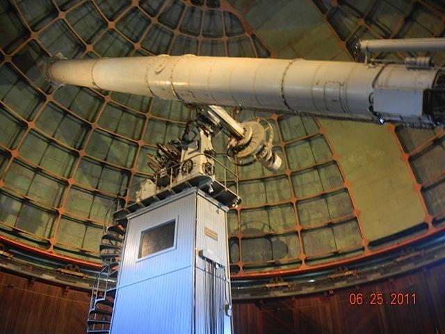
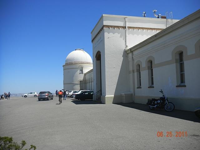
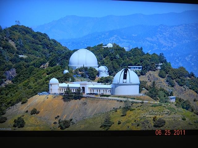
There are only two amenities on the way up the mountain and then back down, and neither of them is a gas station, so fill up before you head up. At the top (and highly recommended) is the James Lick Observatory, where one could probably spend the better part of an entire day checking out all the displays they have to offer in the visitor center. The 30 minute tour is informative and interesting. The other landmark is The Junction Bar & Grill on the back side of the mountain. Good food, good people and a good place to grab a bite or just take a break.
McR user "trstark66" added the following information in Aug of 2021: Stop at The Junction at the intersection of Mines Rd. & Rte. 130 W. for a burger if you're passing through at 11AM or later. Lots of eateries in Livermore but nothing else along the road until you get to San Jose.
Motorcycle Road Additional info
he peak of Mt. Hamilton is 4,196 feet, so it may get snow in the Winter. I suggest making this loop in the Spring or Summer, depending on your personal weather preference.
McR user "trstark66" added the following information in Aug of 2021: Careful of the cyclists, they sometimes ride 3 abreast and take the entire lane. You can come up on them fast on a blind turn. Same hold true for the wildlife. Use common sense and ride in control.


 Write a review


 | United States")


- Ranch Roads 335, 336,337a | United States")


 | United States")


 | United States")


