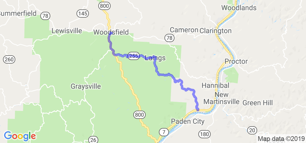
Written Directions
Beginning in Woodsfield Ohio take Route 800 south about 3.5 miles to Ohio 255. Take Route 255 southeast all the way to the Ohio river at Sardis.
In July of 2022 "WVRider" said of this route: "OH 255 rides great in both directions, however I prefer riding it from Sardis, OH northwest to Rt.800 just south of Woodsfield. Lots and lots of twisties. Some very tight, others not so. The road mostly runs a ridgeline so the views are spectacular and scenery with old churches, barns right along the road, and mountain side farms is wonderful. Be prepared to many, many turns. Greatest restaurant in the area is just north of Sardis, across the river in New Martinsville, WV. Quinet's Restaurant - Don't miss it. This road can easily be added to Rt.800, Rt.536, Rt.556 and Rt.26 to make a loop I call Trail of Vipers."
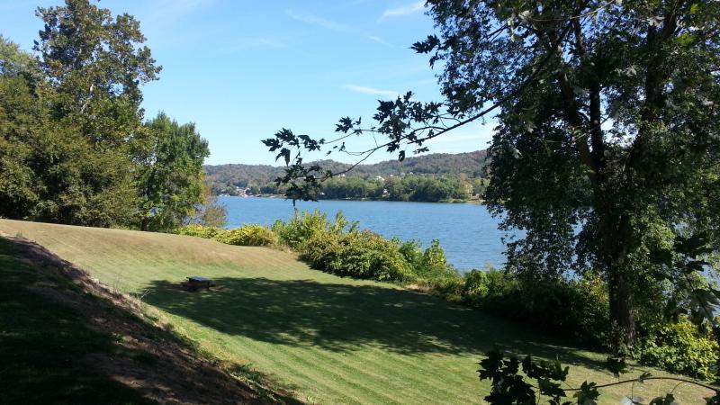
Scenery
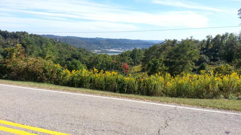
This route is within the Wayne National Forrest. As such it is very rural and has few if any services along the way. This is a beautiful ride in the fall of the year as trees are your main views along the twisting turning hills.
In July of 2022 "WVRider" said of this route: "Lots of ridgeline views, old churches, barns, and being able to see the twisty road in the distance."
Drive Enjoyment
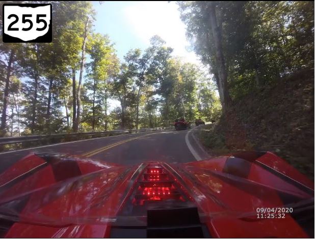
This route is very twisty with lots of elevation changes especially near the southern end when it is a continuous drop down to the riverbed level. Don't expect much traffic and as such look for possible gravel / sand in the low spots in curves.
In July of 2022 "WVRider" said of this route: "Was recently paved, some in fall of 2021 and alot in spring of 2022. Very few bumps, slips or bad spots at this time. Do not ride this road if you do not like one turn after the other. I've enjoyed this road on both my Sport Tourer and my old Harley Sportster."
Tourism Opportunities
No services to speak of along this route. Be sure to gas up in Woodsfield before taking off. This route is short and ends on Route 7 which follows the Ohio river.
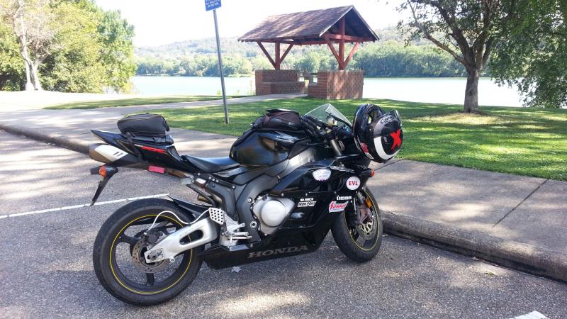
In July of 2022 "WVRider" said of this route: "At the Northern end of the road, one can get on Rt.26 South toward Marietta and see several covered bridges. At Sardis (south end) the Ohio River is quite scenic. Some great little restaurants are in Woodsfield, OH, Beallsville, OH and New Martinsville, WV just across the river."
Motorcycle Road Additional info
For a fun extension to this short route, take Route 7 west 11 miles to Fly, Ohio and take the Sistersville ferry across the river to West Virginia!


 Write a review


 - Jewett, Ohio to Ohio River | United States")


 | United States")


 | United States")


