Written Directions
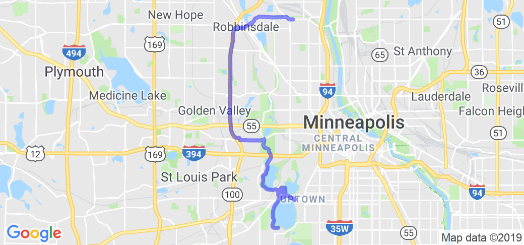
Apologies in advance for how long and complicated this is...but it is WELL worth it. This site also has good info: https://www.minneapolisparks.org/grandrounds/home.htm Starting in the city of Minneapolis MN at the south side of Lake Calhoun (Thomas beach) travel west and north to Lake of the Isles. You can continue on the Grand Rounds parkway system for many miles, continuing to Cedar Lake and through Theodore Wirth Park to Victory Memorial Drive. Head east on 45th ave north, then 44th ave north to the Mississippi river. you can choose which side of the river to travel (east on Marshall st or the west on N Mississippi Drive) but whichever side be sure to head southbound. I am partial to the east bank because I think it is more scenic. Stay as close to the river as possible and keep heading south. Once you are past downtown Minneapolis if you keep going far enough you will come to Ford Parkway. There is a bridge across the Mississippi river at Ford Parkway. Ford Parkway will turn into 46th street in Minneapolis. You will want to get onto Godfrey Rd to go towards Minnehaha Park. Go west on Godfrey to East Minnehaha Parkway. At Nicollet Ave turn right (go north) and then left (west again) on west minnehaha parkway. You are following Minnehaha creek to Lake Harriet. West Minnehaha Parkway will run into east lake harriet parkway. Turn right (go north...you have no choice as it is a one way road) and cruise Lake Harriet until the road turns away from the lake to the north. Go past the parking lot to the stop sign and go straight on William Berry Parkway...turning left will continue around Lake Harriet ( not all bad but not returning to your starting point). Continue on William Berry Parkway going straight through the light at Richfield Road and you are back at the south end of Lake Calhoun...you will come to Thomas Beach again.
Scenery
Lakes, parkland, downtown Minneapolis, Mississippi River, Minnehaha Creek. You will see most of the amazing beauty of the Minneapolis Park system and much of the city of Minneapolis.
Drive Enjoyment
This is a long route at slower speeds. Parkways and roads are mostly in decent condition, but it is not perfect. Parkway speed limit is 25...going 30 seems to be acceptable.
Tourism Opportunities
Minneapolis parks have amazing food options and you will ride right by downtown which has hundreds of restaurants and bars as well as Northeast Minneapolis near downtown which has good food and bars. Use google maps on Minneapolis to find almost whatever you want.


 Write a review


 | United States")


- Ranch Roads 335, 336,337a | United States")


 | United States")


