Written Directions
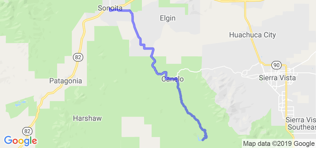
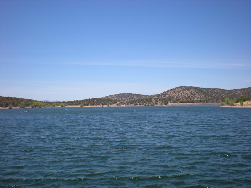
In Sonoita, Route 83 continues past the Shell gas station and winds down to a small lake called Parker Canyon Lake.
Scenery
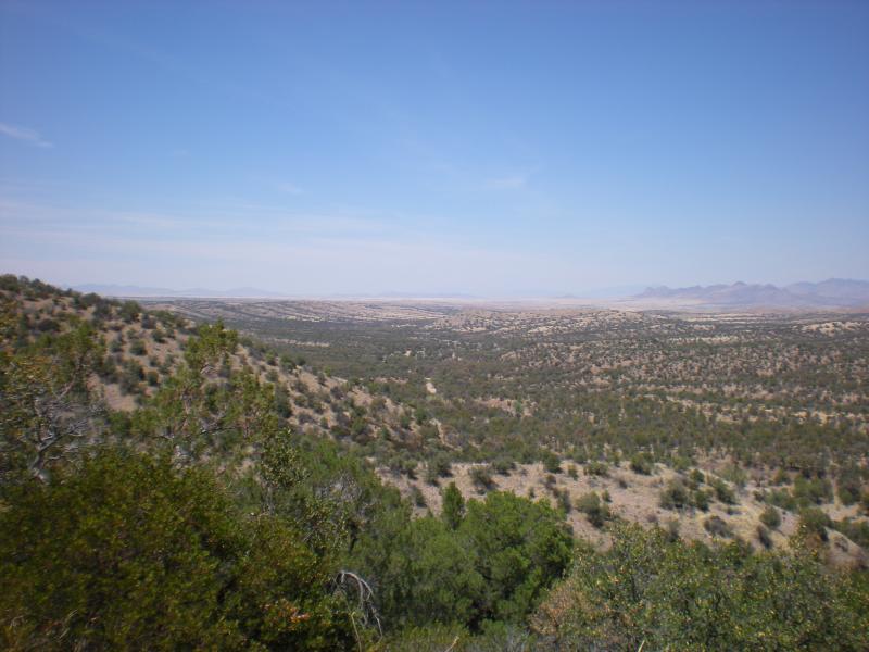
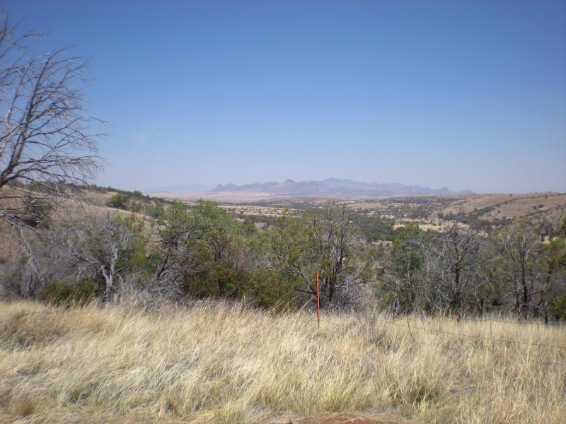
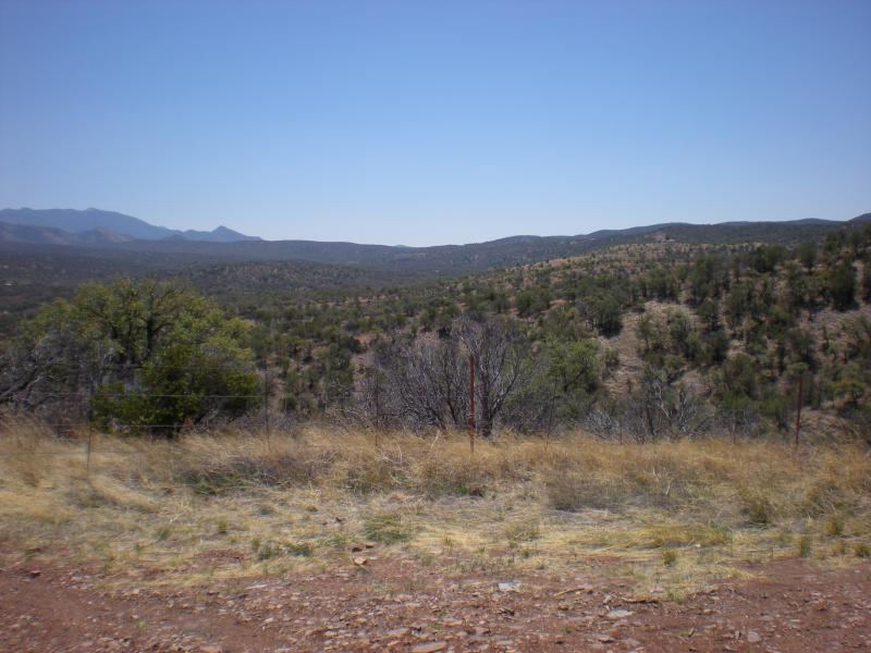
The views are absolutely amazing. To the south and east are mountains, to the north and west rolling hills. Far to the north you can see the Rincons and Mt Lemmon. The windy road drifts from desertscrub to the pines. It's 30 miles of mostly windy road, by mile marker 5, you're smelling pine. You won't see Parker Canyon Lake until you come around the final bend and there it will be.
Drive Enjoyment
I vascillate between 3 and 4 for this road, (3 for the potholes, 4 for the turns) so I'll give the rundown: The first 7 or so miles have been newly paved/sealed, with sharp and long turns. After that, the road isn't bad, windy, but with potholes. I don't recommend more than 2 or 3 bikes in a group ride because of this. Not far after marker 20, there's a bend in the road that has about 500' of missing pavement (as of 5 May 2012, it's still there...or still missing, I should say). Between markers 12 and 7, the road is again newly sealed. After marker 7 (sorry the numbers are going backwards, but you are heading south to begin this ride), there'll be a lot of shifting between 2nd and 3rd. The twists and turns are smooth and sensuous and leave you in suspense for the next bend. There are still potholes to be avoided, but you can't go fast enough to not see them in those turns.
Tourism Opportunities
In Sonoita, there's gas, food, drinks, and public restrooms. There isn't much between Sonoita and Parker Canyon, but it's only 30 miles and Parker Canyon Lake has snacks, drinks, restrooms, and camping facilities (if so desired. They also rent kayaks, canoes, and boats for use on the lake).


 Write a review


 | United States")


- Ranch Roads 335, 336,337a | United States")


 | United States")


 | United States")


