Motorcycle Route Author

By Guest (0 McR Points)
on Jan 31, 2007
Rider Reviews
Written Directions
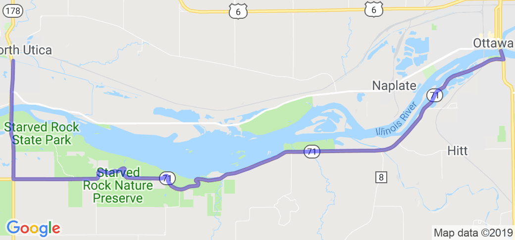
Start at Utica, IL and head south on Route 178 for just about a mile or so and you will come to the intersection of Route 71. At the intersection turn left (east) and you'll be at the entrance of the park in just a mile. Take your time and check out the park but then get back on 71 heading east and ride along the Illinois river to the town of South Ottawa. The whole ride is only about 13 miles and if I were you I would turn around and do it a couple of times! Enjoy!!Scenery
The area is relatively very hilly for Illinois, with thick woods, and deep ravines at certain points. In the fall it's especially beautiful with the fall color changes.Drive Enjoyment
Nicely paved, some areas are narrow for a two lane road, twisty like the Tennessee hills, declines from west to east.Tourism Opportunities
Starved Rock State Park has a nice lodge, camping, hiking, boat access ... the web site also list the following activities: fishing lodge, hiking, picnicking, camping, history, visitor center, horseback riding, and sports events. Make sure you take the time to read the signs in the park about how the park got its name - fascinating history.Motorcycle Road Additional info
- View the weather forecast for this area from Yahoo weather . - **Top Images
nsgf
April 14, 2017
10 McR Points
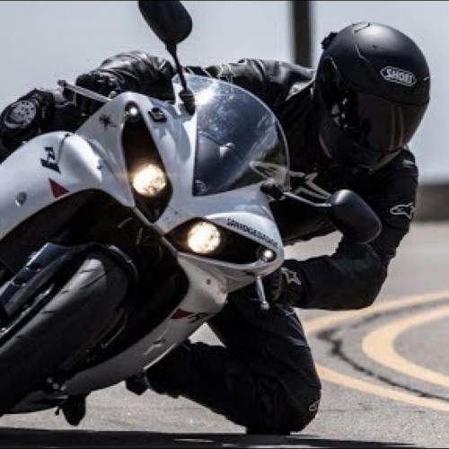
Motorcycle Type : Sport
Was this road review helpful?
Thumbsup
0 riders found this road review useful
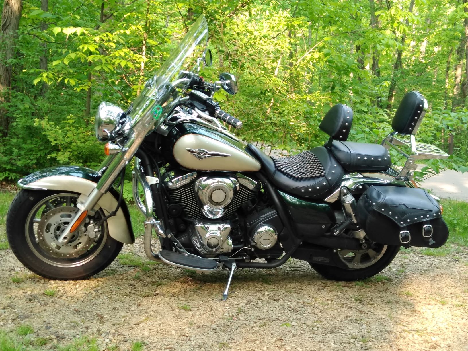
Photo Gallery of Starved Rock Run on Rt 71 (2 Photos)

Video
Video of a motorcycle ride in the Starved Rock area.
0
Thumbsup
Photo
0

Video
0
Interactive Views Along This Route
Start point
Latitude 41.34058
Longitude -89.01001
Way point 1
Latitude 41.30915
Longitude -89.01008
Way point 2
Latitude 41.30916
Longitude -88.98436
End point
Latitude 41.34262
Longitude -88.84112

