Written Directions
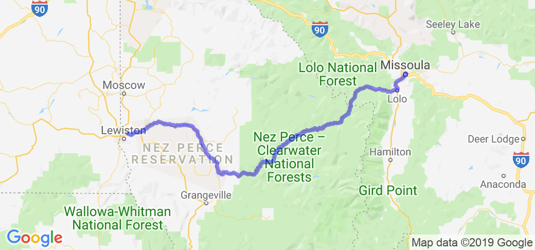
This route starts in Lewiston Idaho and goes east along the Clearwater River and then the Lochsa River over Lolo Pass to Missoula, MT.
Scenery
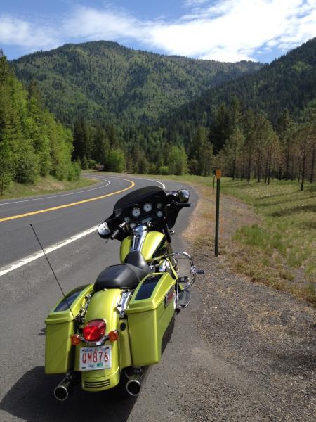
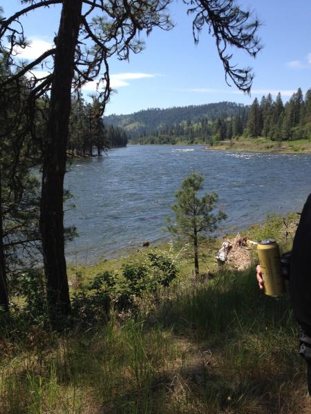
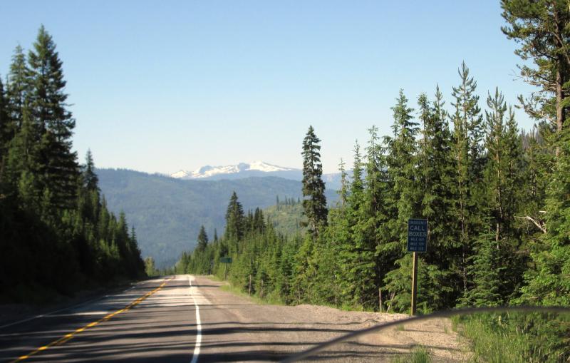
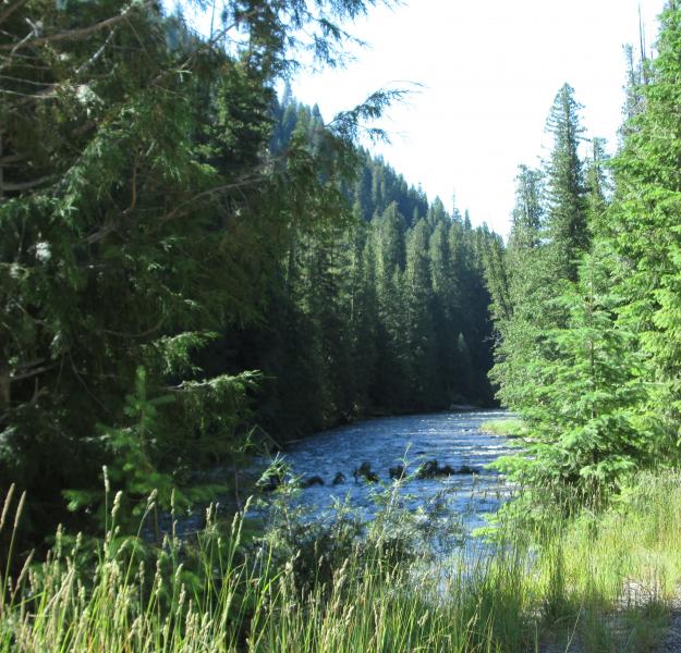
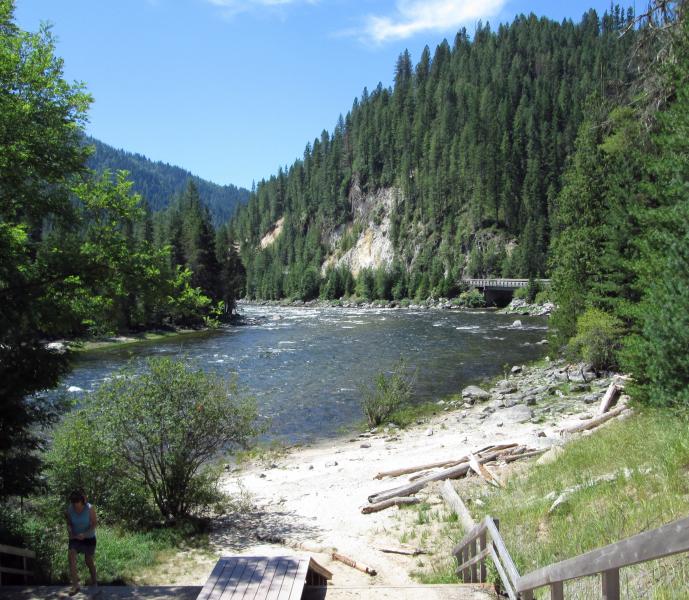
This route follows the Clearwater river and then the Lochsa River. It is one of the most beautiful rides I've been on. Lots of curves and tons of scenery as you wind along these rivers. This is a must ride for all riders who love an outstanding scenic ride!
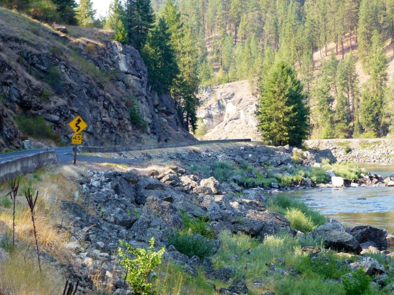
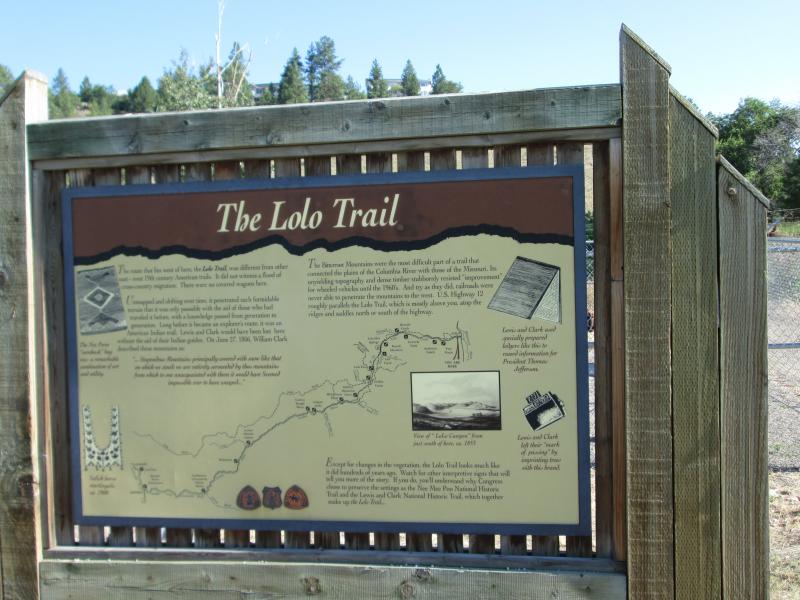
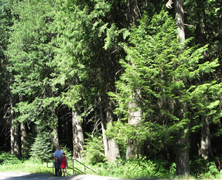
Updated on 4/10/12: The legendary pathway to Sturgis is worth every second in the seat and will have you coming back time and again. Full of historical markers, the NWPSB leads out of Lewiston's low rolling hills, along the Clearwater River, and into the cooler temops and higher pine forested landscape of Orofino. A stunning stretch of road, from Orofino to Kooskia, with the river on your left and sheer rock cliffs rising on your right - is a favorite section of many riders. Outside of Syringa the scenery becomes more densely forested as you pass the Selway River and enter the foothills of the Clearwater-Nez Perce National Forest. The elevation continues to climb through close forest, heading toward Montana. Opportunities for roadside camping are plentiful and the short, 1 mile hike into Jerry Johnson Warm Springs (closer to Montana) is a popular destination marker. Wildlife abounds on this drive and common sightings include eagles, hawks, owls, deer, bear, elk, moose, cougar and the occasional wolf. Due to long distances and the scarcity of service on the eastern side of the ride, we suggest that riders take every opportunity to fill their fuel tanks; Along the route: Lewis & Clark Trail, Lewis & Clark Discovery Center, Clearwater River Canyon, Nez Perce National Historical Park, Canoe Camp, Long Camp, Heart of the Monster, Kooskia Crossing, Eimers Park, Mammoth Exhibit, Lochsa Historical Ranger Station, DeVoto Memorial Cedar Grove, multiple Historical Markers for Lewis & Clark and the Nez Perce.
Drive Enjoyment
The road was being worked on last summer when we went but was still in pretty good shape. There is quite a bit of traffic on this route but its worth it.
Updated on 4/10/12: This well-traveled roadway is fully paved and well maintained year round. From Lewiston, the road is full of tight curves on 2-lanes that offer limited visibility of upcoming traffic. Around Orofino, the road opens onto sweeping straights. From Orofino to Kooskia, there are beautifully banked, tight winding s-curves that offer clear views of upcoming curves. 10-15 miles past Syringa, the roadway continues its gentle climb toward Lolo Pass with a combination of long sweeping curves and tightly banked s-curves all the way to Montana.
Tourism Opportunities
Make sure you got a full tank of gas. There is plenty of fishing, camping and swimming all along the way.
Updated on 4/10/12: Restuarants, Convenience Stores and Gas Stations available along the way from Lewiston to Kooskia. We highly suggest a stop at Ronatta's Cakery in Orofino for donuts.





























 Write a review
