Written Directions
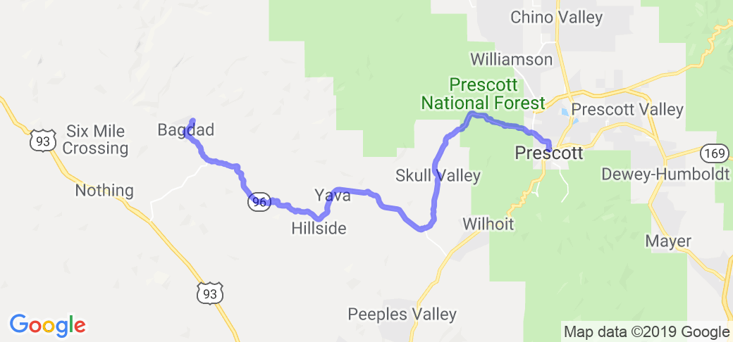
Start at the small town of Bagdad in west/central Arizona. Head southeast on Hwy. 96. At mile marker 22, the road designation changes to Hwy. 15. Continue to mm38, Kirkland. Turn left (north) on Hwy. 10 (Iron Springs Rd.). In 7 miles (mm18) you will pass through Skull Valley. Continue to Prescott.
Scenery
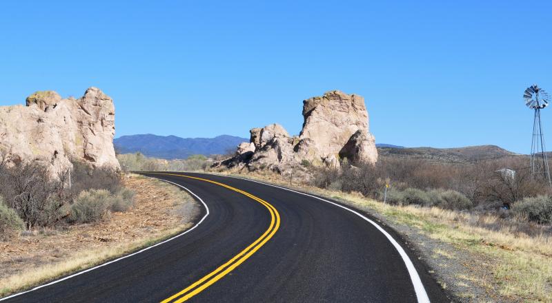
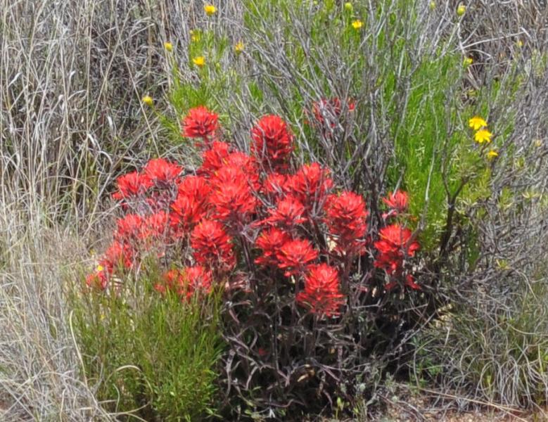
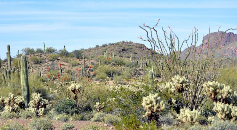
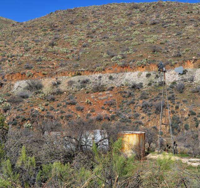
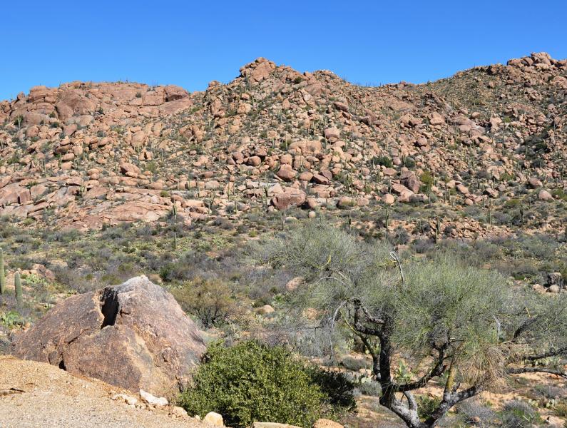
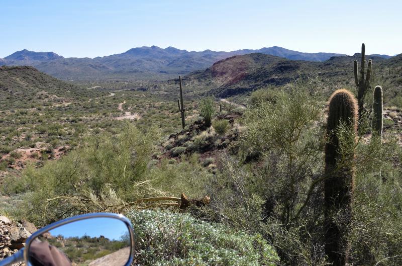
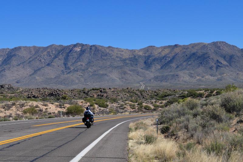
The canyon down from Bagdad, a copper mining area, has a variety of igneous and metamorphic rock formations, all derived from old volcanic and underground action. The hills for the next 25 miles are mostly old volcanic remnants and towards the end, rounded granite boulders. The vegetation is varied, but mostly lusher desert types with plenty of bushes and smaller trees, not like the drier conditions at lower elevations with sparse, small bushes.
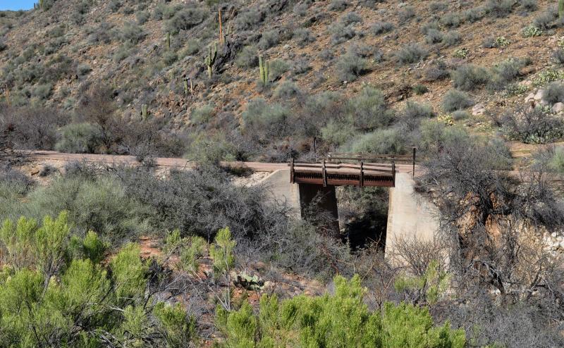
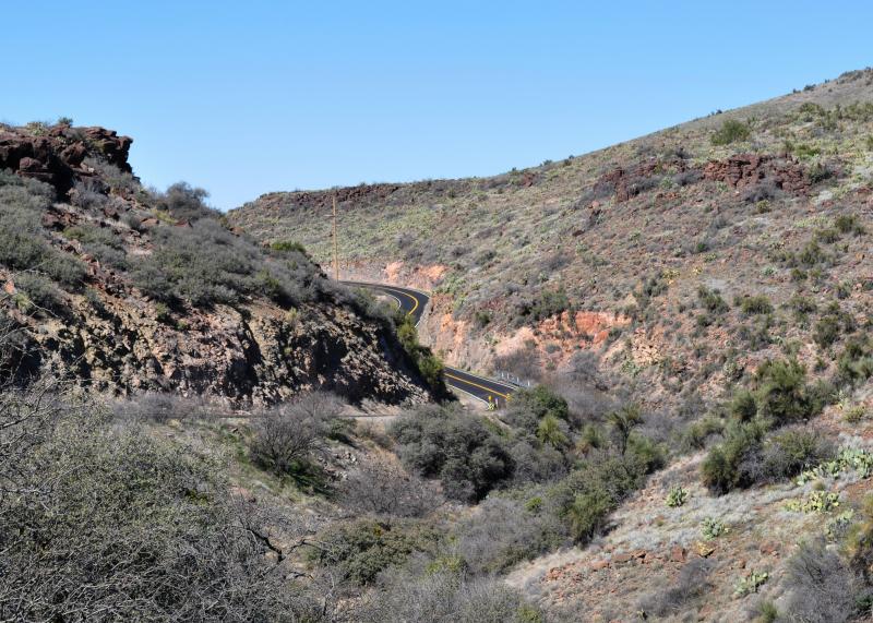
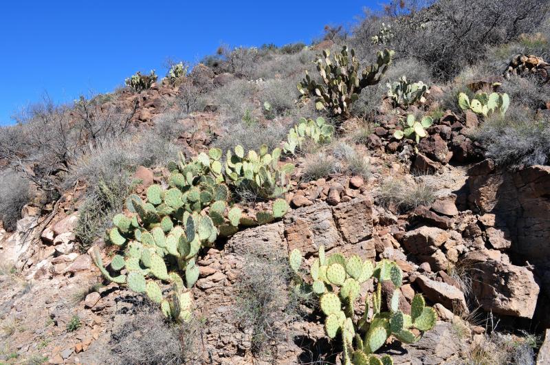
At mm25, the road straightens out as it crosses eroded volcanic flows and sharp, shallow canyons cut into the rocky soil. You can see the edges of the old basaltic flow of molten rock 500 feet higher than the roadway and sharp drop-offs into an older layer. The vegetation along here shows the lack of rainfall. This section ends at Kirkland, which is no more than a few houses and one bar/restaurant.
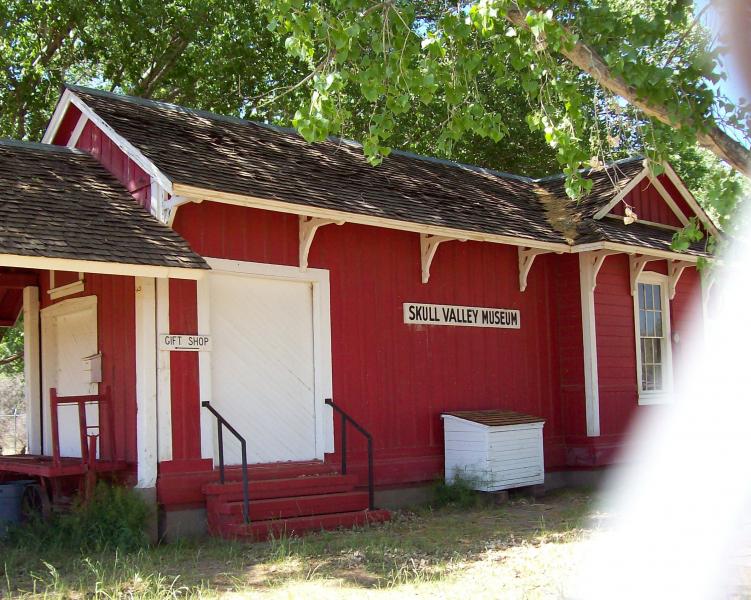
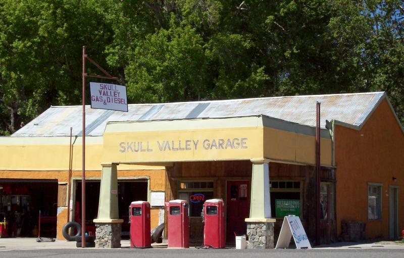
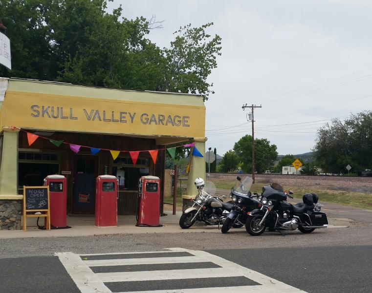
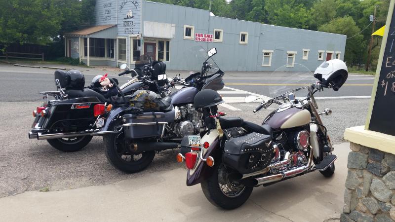
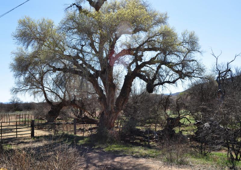
As you travel up the stream bottom on the way up Iron Springs Road (Hwy. 10), there is a lovely canyon with broadleaf trees such as cottonwood. They are not so common in the western part of the state. In 7 miles, you'll reach the small community of Skull Valley. There is a cafe, garage, and a small museum here (although it's never been open when I've come by).
The gradual climb up this road gives nice views of the mountains to the north. As you get to about mm19, the trees become more plentiful. (Kirkland is 3,930' elevation, Prescott is 5,400'). There are a number of conifer (cone bearing) trees here such as the pinion pine (a round shape), juniper (a pointed top, small tree) and, on the more shady slopes, ponderosa pine. The ponderosa is tall and quite attractive with its giraffe looking bark and long leaves.
You enter the outskirts of Prescott now, and can find full services. You can return the same way you came, or take Hwy. 89 for different views to the south and a very curvy few miles out of town if you head back down towards Wickenburg (elevation 2,100').
Drive Enjoyment
Most of the road is in pretty good shape and it's easy to hold a moderate speed as the turns are not often blind or slow. The main problem comes in where older roadway has either tar snakes or has deteriorated into gravel that may accumulate here and there. Therefore, I would keep my speed down from maximum on the curves. During 2012-13, portions of Hwy. 10 are being repaved.
Tourism Opportunities
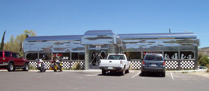
Bagdad has gas, garages, cafes and a cool, silver 50s diner. Kirkland has one cafe/bar. Skull Valley has one (crowded during lunchtime) cafe. Prescott has everything.
Motorcycle Road Additional info
This is a fun route with various road types and scenery which makes it a favorite to the bikers who know about it. The road from Kirkland up to Prescott can get pretty chilly in the winter, however.


























 Write a review
