Written Directions
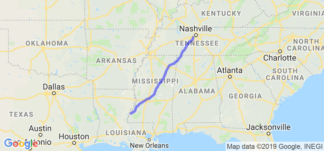
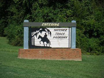
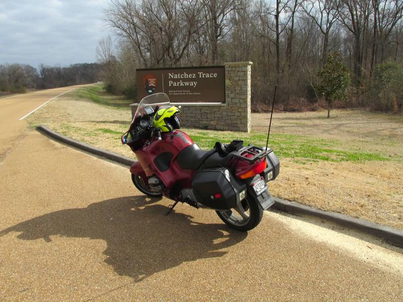
The Natchez Trace covers approximately 430 miles. The southern most point is in Natchez Mississippi and the the northernmost point is in a town called Leipers Fork Tennessee (just southwest of Nashville, TN). Of course you can join the parkway at any point in the middle of those 430 miles (use the above interactive online map to find the best entry point for you).
Scenery
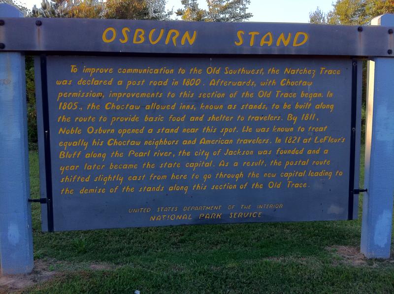
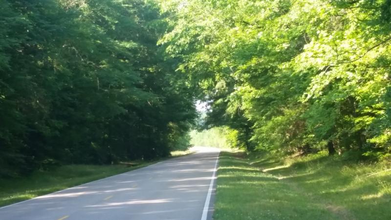
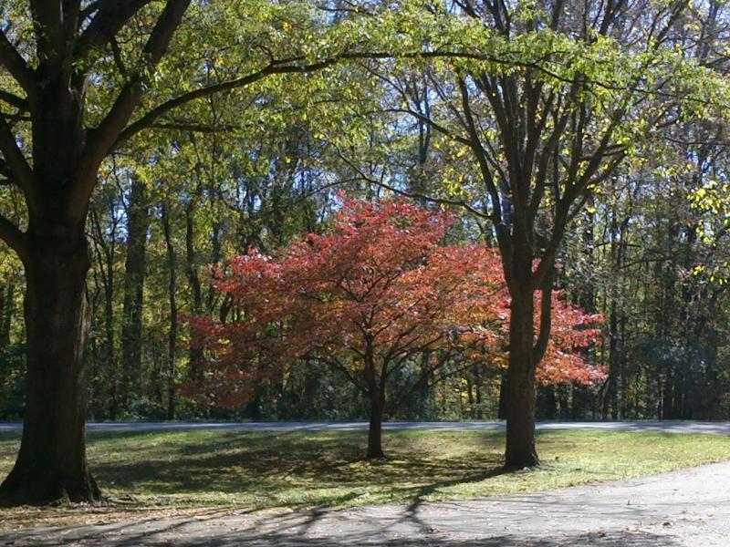
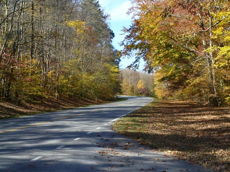
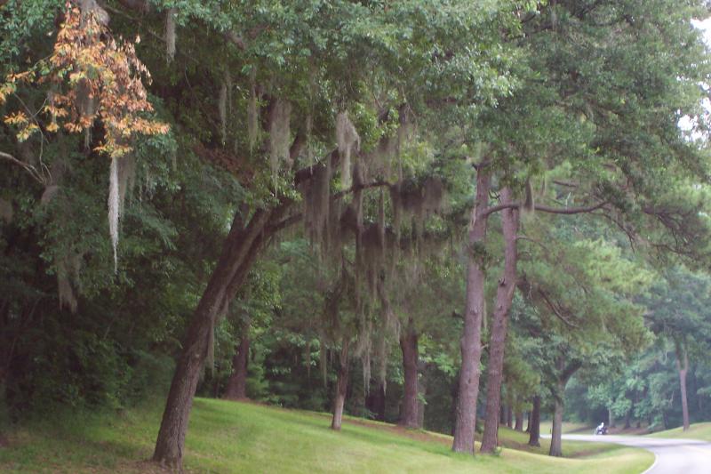
On the southern end of the route the forests consist of oaks, pines, beeches and magnolias that gather tightly together and create a dense shade over the underlying ground. Driving along this route in the Spring and seeing the budding dogwoods and redbuds you will know why this is one of the US Department of Transportation's group of elite 'All American Roads'. You will see many of the trees are covered in drapings of Spanish moss that give the forest an eerie Cajon look. The route follows a famous 8,000-year-old pathway that led early Indians, warring armies, Spanish conquistadors and early American settlers to their destinations. It is also the path that boatman used to return to their origins in the Midwest. These boatmen would maneuver their boats down the Mississippi River to deliver their cargo to places such as New Orleans. Then, rather than attempt to return their boats by fighting upstream, they would sell the boats for wood and walk back to their home states along the same path as this route ... as far as Kentucky and Ohio. This process continued until steamboat travel, around the year 1812, became a more safe and favored means of returning up river. Along this route you will see 'Little Mountain' which oddly enough is one of the highest points in all of Mississippi (603 ft).
Drive Enjoyment
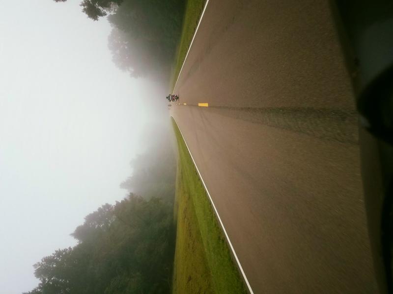
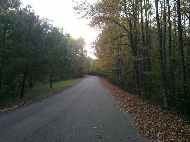
The roads you will travel while following this route are generally in good condition and primarily straight with a few hills along the way. Take advantage of the slower than normal speed limits and absence of commercial traffic on this route and enjoy the cruise.
Tourism Opportunities
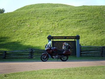
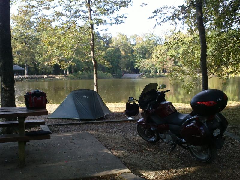
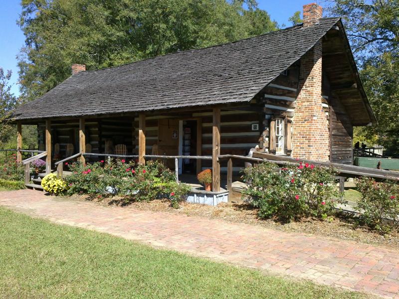
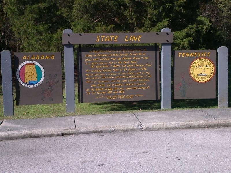
In the town of Natchez you will find 500 preserved antebellum structures many of which are available for tours. Also along the route (mile post 10) you will find an ancient Indian ceremonial site called the Emerald Mound. The site was built approximately 700 years ago by a tribe called the Mississippians. It is a 35-foot tall earth structure that spans for an incredible eight acres and is the second largest mound in all of America. At mile marker 41.5 you need to stop and checkout one of the few remaining sections of the original path. You will see a tunnel here that is covered in Spanish moss and lined by tall ominous trees ... follow this to an authentic ghost town formerly known as Rocky Springs. Near the town of Jackson Mississippi you will find the Mississippi Crafts Center, which hosts artisan artists gatherings on weekends from March through October. These artists demonstrate their pottery, weaving, quilting and other skills through live demonstrations. Further up the road is the Ross Barnett Reservoir where fishing and water-skiing take place. A short nature trail exists on the north end of the reservoir for those of you who want to learn about the local fauna. Just north of the town of Kosciusko you will find an information center that will teach you about the interesting history of the parkway. Kosciusko is also the birthplace of the famous talk show host Oprah Winfrey. In the town of French Camp you will learn about an interesting travelers' stand that served the travelers on this route. A restored 1840 log cabin displays some of the history including French and Indian artifacts. Up the road is the Jeff Busby Site at where you can camp, picnic, and take advantage of THE ONLY FUEL STATION ON THE ROUTE. In the Tombigbee National Forest you can visit the 200-acre Davis Lake and enjoy various water sports. The town of Tupelo was the scene of the last major Civil War battle fought in the state of Mississippi and the Tupelo National Battlefield marks the spot of this battle. Tupelo is more famous what happened on Jan 8, 1935 in a two-room house built from $180 worth of material. Two twin boys were born. One of which, Jesse Garon, died at birth. But the other one, Elvis Aaron, survived and went on to become the King of Rock-n-Roll. You can see Elvis' boyhood home, elementary and junior highs schools and the hardware store at which he purchased his very first guitar. Up the road on the border you will find one of the most beautiful parks along the way - Tishomingo Sate Park. The park consists of 1,500 acres that include the farthest reaches of the Appalachian Mountains, bluffs and tranquil waterfalls. In Tennessee you may want to visit David Crockett State Park and hike or fish or see the Crockett Falls. You may also want to visit the Meriwether Lewis site for camping, hiking, and water sports. The site was built in commemoration of the famous partner of the Lewis and Clark expedition team. In Jackson Falls Tennessee you'll find the tomb of renowned president Andrew Jackson. And finally the route terminates in Nashville Tennessee where you can visit the Country Music Hall of Fame.
Motorcycle Road Additional info
- View the weather forecast for this area from Yahoo weather .

































 Write a review
