Motorcycle Route Author

By Guest (0 McR Points)
on Apr 14, 1998
Rider Reviews
Written Directions
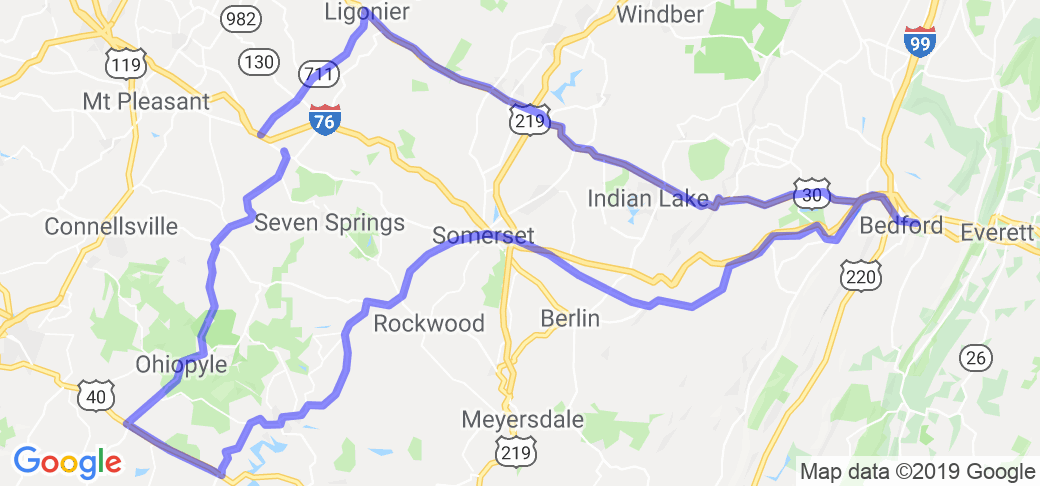
Start your route in Donegal, PA which is located about 40 miles south east of Pittsburgh. From here head south on route 381/711 down to and through the towns of Indian Head, Normalville, and on to Farmington. From there take 40 east till you get to 281 which you want to take north up to Somerset. From Somerset you take route 31 east and pass the towns of Roxbury, West End and Manns Choice. Route 31 will merge into 30. Continue on 30 in to the town of Bedford. Leave Bedford by heading back west on US Hwy 30 and stay on 31 through the towns of Schellsburg, Stoystown, and Ligonier. Then complete the route by taking route 711 south towards I-70/76 and your starting point in Donegal PA.Scenery
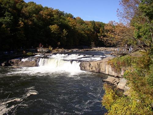
About 40 miles southeast of Pittsburgh, you will find a classic motorcycle route and fall in love with this area of Pennsylvania.On the route you will be traveling through the Laurel Hills area of the Allegheny Mountains. The route specializes in views of the Youghiogheny River white-water and forests as well as gentle rolling farmlands.
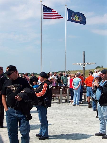
Photo contributed by visitor in Oct 09 - "Flight 93 Ride."
Drive Enjoyment
One of the best things about this route is the motorcycle road quality. It alters between hilly twisty mountain riding and rolling farm country. The roads are in generally good condition and you will be rewarded if you take some side trips to try to find your own routes.Tourism Opportunities
One of the first man-made sites you'll find along this route is a home built by the famous architect Frank Lloyd Wright that literally (yes, literally) hangs over a rushing river. You can take a tour of the home and actually hear the rushing water below some of the floors of the house.If you love whitewater rivers and thick woods then you need to plan to spend some time at the Ohiopyle State Park off of state road 381. The Youghiogheny River is an Indian word meaning 'white frothy water' ... you will quickly see why the name fits the river so well. The park has a section of the river that passes through a huge gorge. There are plenty of overlooks for you to see the river if you stop and walk around in the park. The park is loaded with trails.
Youghiogheny Lake offers fishing, hiking and camping for those interested.
Laurel Hill State Park is a top quality park that has a visitor's center that can tell you about all the trails and attractions the park has to offer.
In the town of Somerset you can has a large Historical Center where old pioneer-like skills and crafts are on display. Here you can also pickup a brochure and a nearby Covered Bridge Route that may become the favorite part of this route for you.
Take US 31 east to the town of Manns Choice where the route can get a little tricky as you head to Bedford ... don't hesitate to ask for directions if you think your lost.
The town of Bedford dates back to before the declaration of independence and was the location where George Washington once established a headquarters. The town offers a walking tour that will tell you all about the role this town played as a frontier outpost. If you want to visit a recreated Colonial settlement, visit the Old Bedford Village.
On route 30 heading east you will see some Inns and taverns from as long ago as the 1700s. Some are even strategically built 4 miles apart because that was the average daily travel length for people that day.
If you take a detour off of US 30, south on state road 96, you can go to the Shawnee State Park.
At Bald Knob summit you can take in some views of both Maryland and West Virginia.
The route finishes up in the nice little town of Ligonier. Here you can walk or drive down Main street and checkout the beautiful historic buildings.
Laurel Hills Visitors Bureau (800-925-7669).

