

Motorcycle Route Author

By Guest (0 McR Points)
on Mar 31, 2008
Rider Reviews

Written Directions
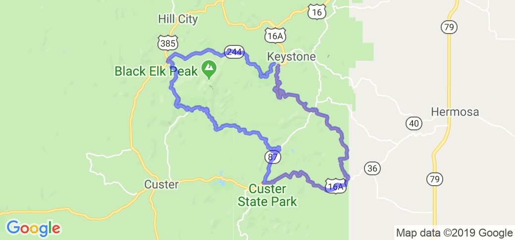
This route begins and ends in Keystone, SD. Begin by taking Hwy. 244 west toward Mount Rushmore (also called Peter Norbeck Scenic Byway). After about 10 miles, this road ends at Highway 385 where you will turn left (South) for a few hundred yards and make another left onto Hwy. 87 toward Custer State Park. Follow 87 about 5 miles to a "Y" in the road (Jct. 89). Turn left here to continue following Hwy. 87 and enter the park. Ride past Sylvan Lake and continue on 87 (also called Needles Highway). After about 15 miles, Hwy. 87 ends at Hwy. 16. Turn left (East) and follow Hwy. 16 for about 8 miles to Iron Mountain Road (Hwy. 16 North). Turn left and follow Iron Mountain Road all the way back to Keystone (approx 16 miles).Scenery
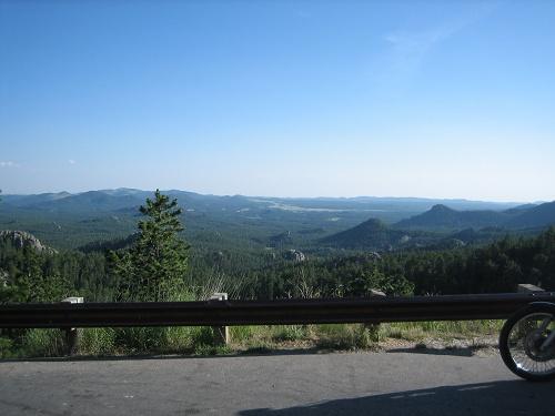
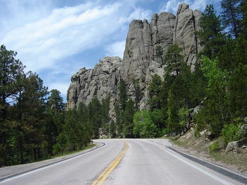
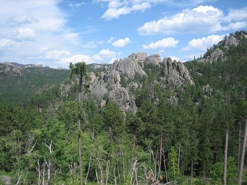
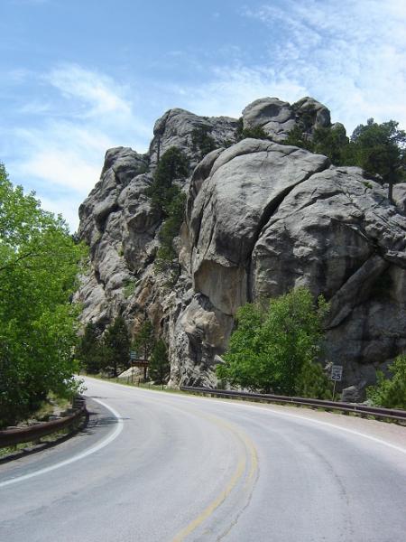
From the quaint, historic town of Keystone, past world famous Mount Rushmore, through scenic Custer State park, this route packs more scenery per mile than arguably any other road in the world. Plan to stop often so you can enjoy the view safely, and for heaven's sake don't forget your camera!Drive Enjoyment
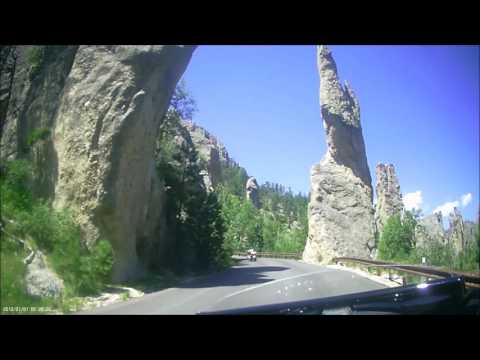
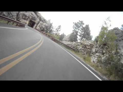
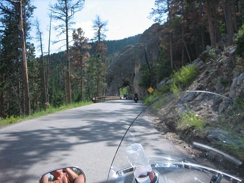
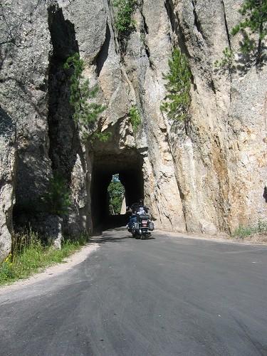
This route is a motorcyclists dream. Incredible twisties, switch backs, pigtail bridges hills and valleys, and even a few short tunnels, all complimented by excellent pavement that is well maintained through the non-winter months.Some of these roads are narrow with tight turns and many elevation changes. It may not be well suited for beginner riders. Riding this loop in reverse is a nice alternative the second time!
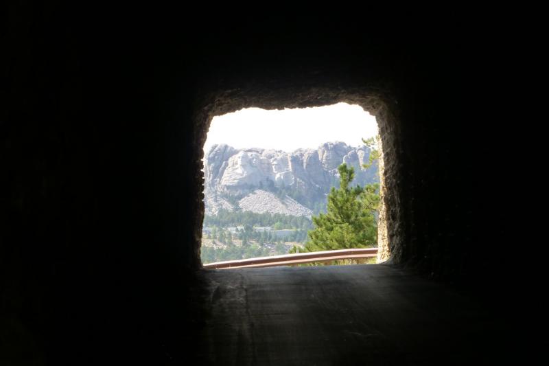
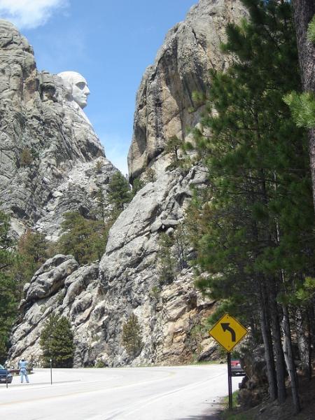
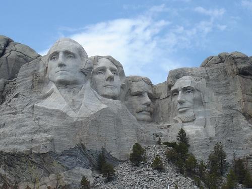
Notice George Washington's profile at the top of the photo.
Tourism Opportunities
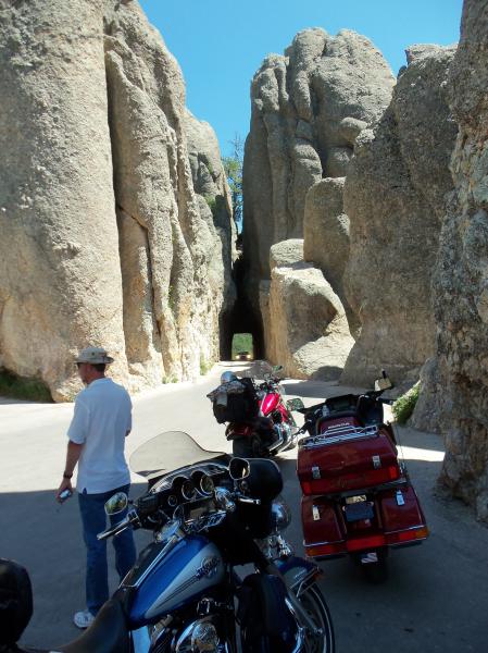
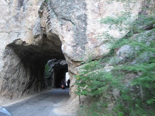
Check out the shops in Keystone, visit Mount Rushmore, camp/hike/fish in Custer State Park or several other locations along the way.Photo contributed by a visitor in July 09: "The Needles Hwy tunnel."
Photo contributed by a visitor in July 09: "Some tight turns on Iron Mt.Rd."
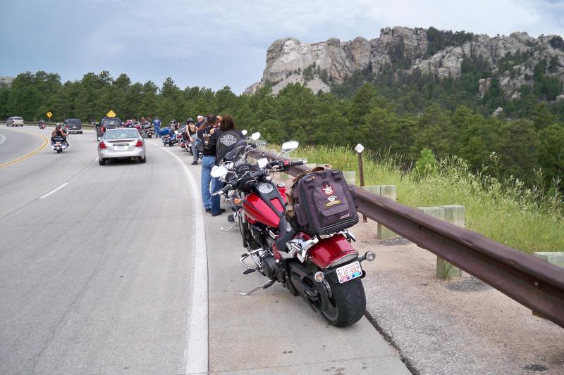
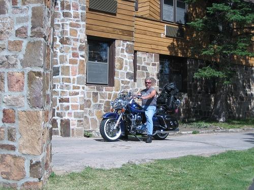
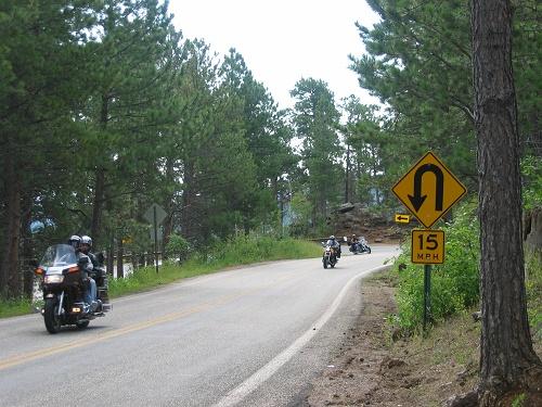
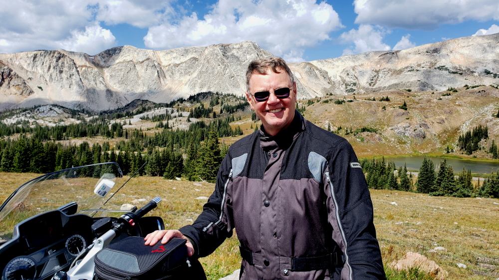
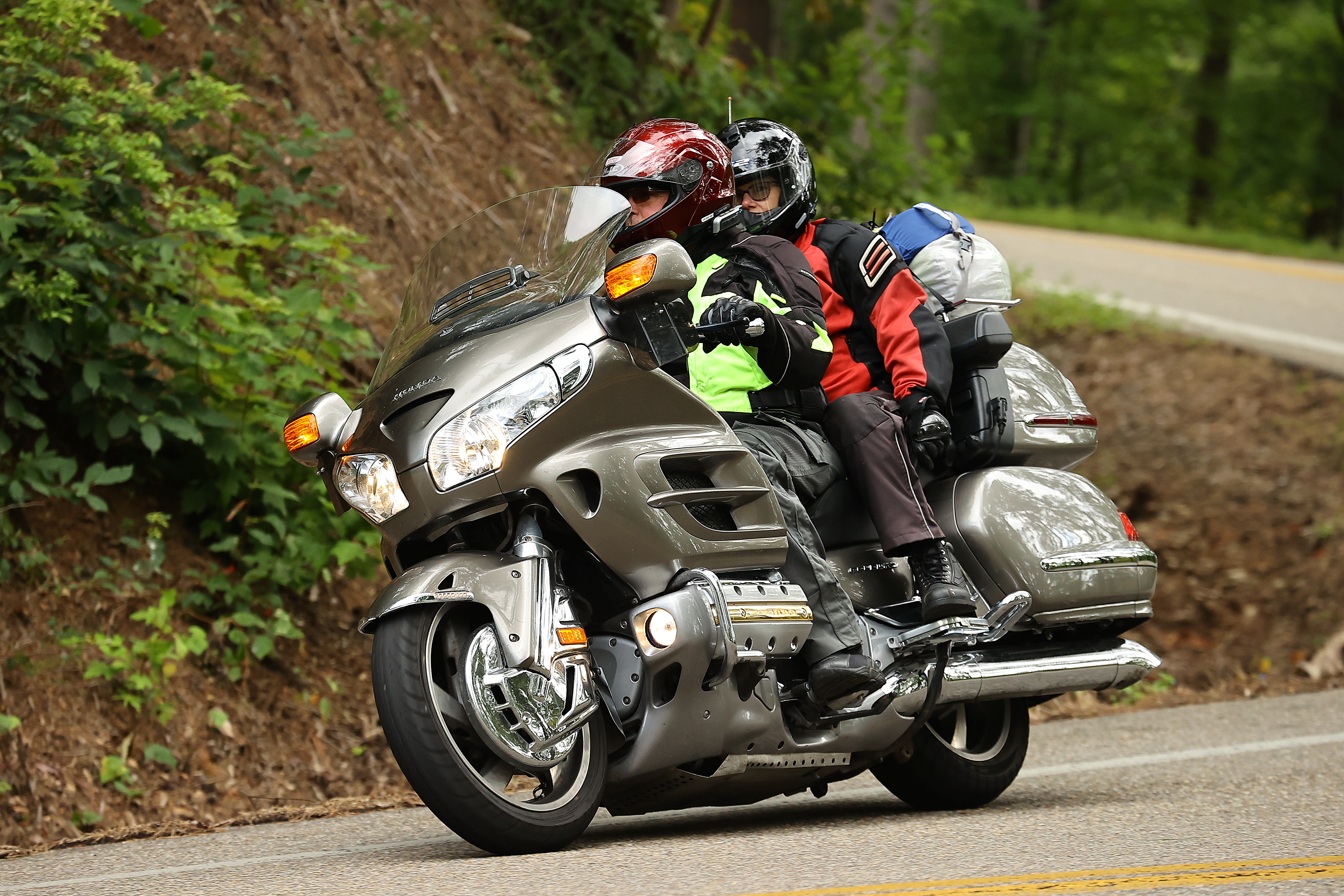
Photo contributed by Dale in Aug 09
Photo contributed by Dale in Aug 09
Photo contributed by Dale in Aug 09
Photo contributed by Dale in Aug 09
Photo contributed by Dale in Aug 09


 | Routes Around the World")


 | Routes Around the World")


 | United States")


- Ranch Roads 335, 336,337a | United States")


 | United States")


 | United States")
 | United States")


