Overall Route Rating
speedo-meter speedo-arrow
speedo-meter-grey
4.71 out of 5 Rider Rating 4.71
138 Reviews

Motorcycle Route Author

profile Image
By Guest (0 McR Points) on Feb 28, 2002

Rider Reviews

No Image Found
Guest
October 8, 2010
My favorite ride. From the north, do it my way…
Thumbsup
No Image Found
Guest
March 13, 2011
The BRP is The Best Ride you can do on the east…
Thumbsup

Written Directions

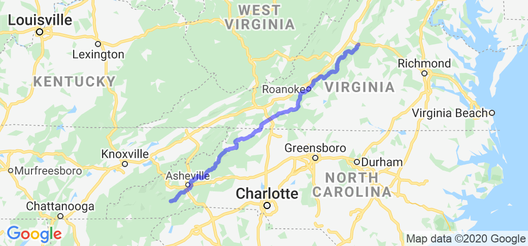
NOTE: The map shown above is not entirely accurate because of a limitation with the Google Maps software that is used by the website. It is close however, AND, there are many web sites that document the Blue Ridge Parkway's exact directions including the interactive online map here - https://www.blueridgeparkway.org/parkway-map/. To start on the north or upper half, go Staunton VA on interstate 81 and then head east on interstate 64 towards Waynesboro or Afton VA. Look for and follow the Blue Ridge Parkway signs. To start in the middle you should go to Wytheville VA on I-81 and then get on I-77 heading southeast toward the town of Fancy Gap VA (its exit #8 off of I-77). Look for the Blue Ridge parkway signs. Or to start at the lower/southern end (and then heading north) go to the town of Cherokee (just southeast of the Great Smoky Mountain National Park) or you can get on the Blue Ridge Parkway in Asheville NC as well.

Scenery

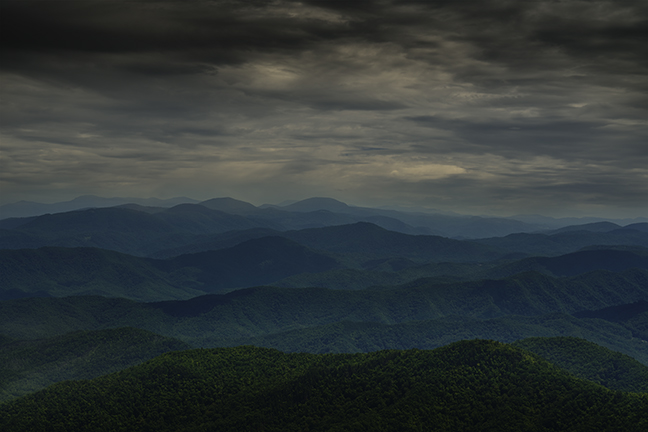
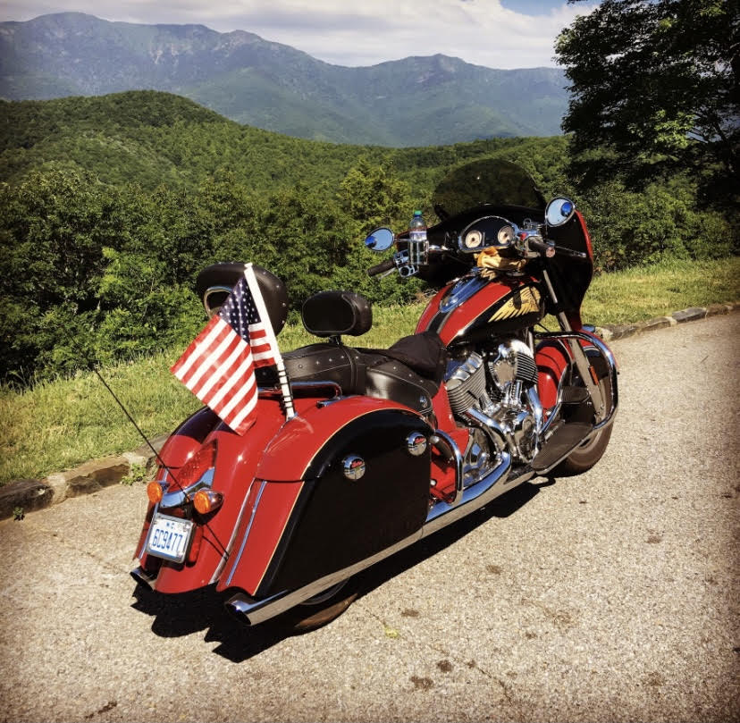
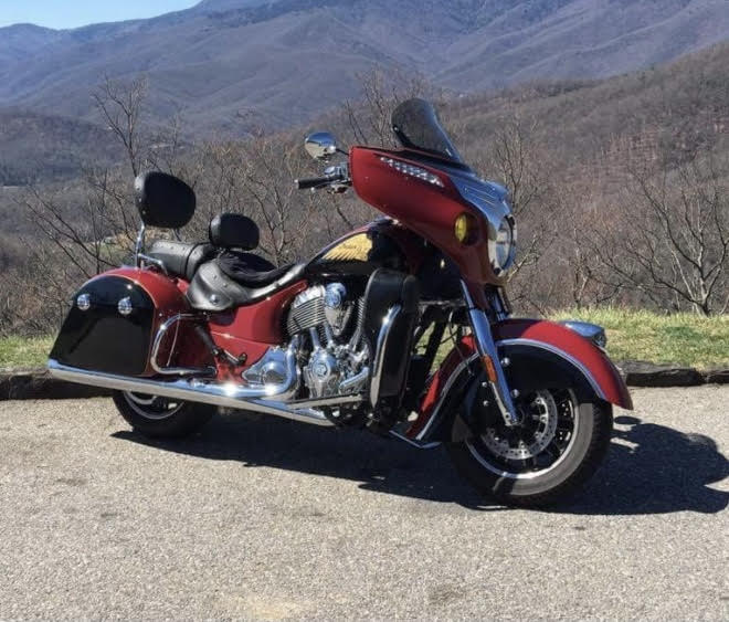
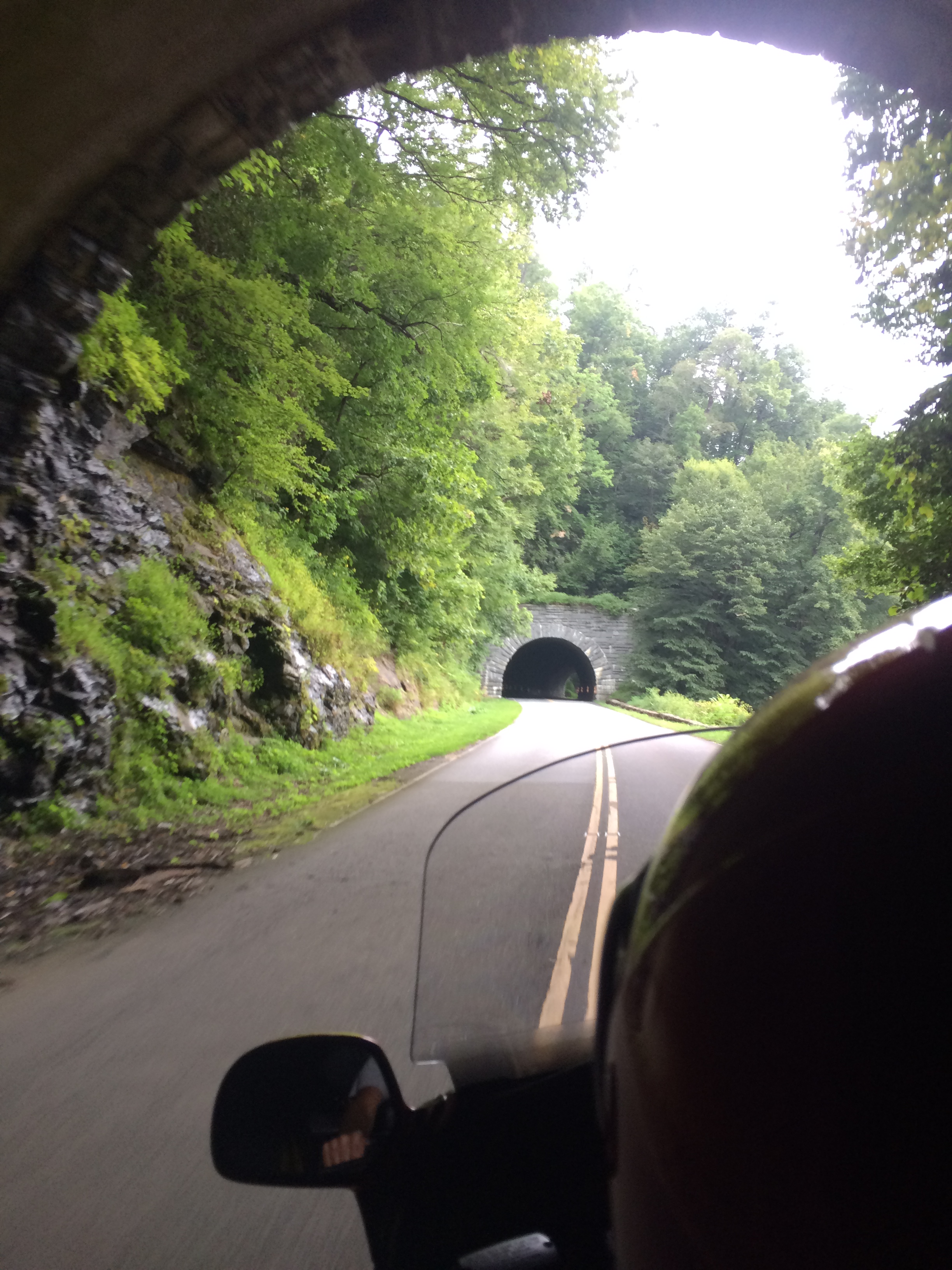
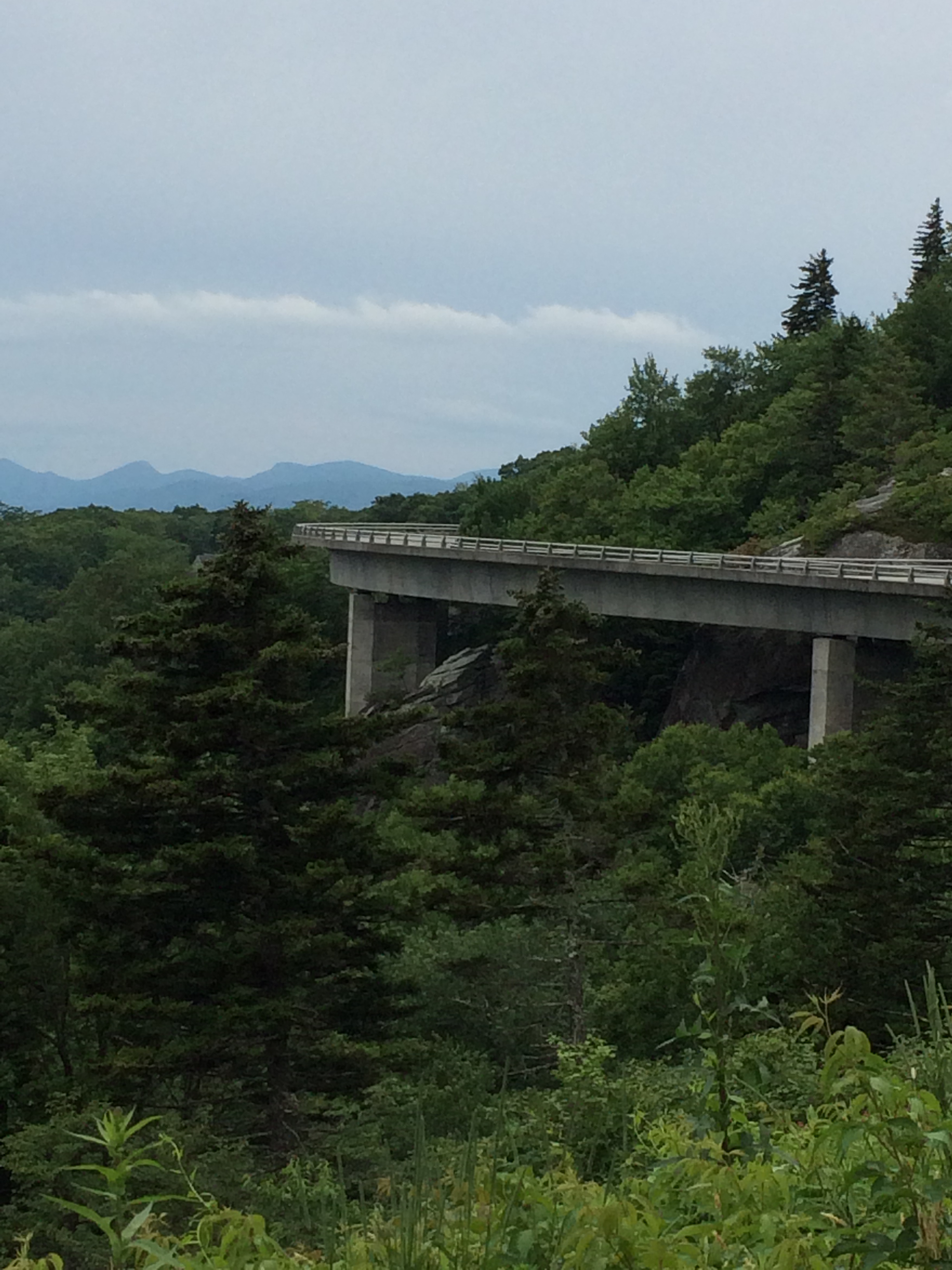
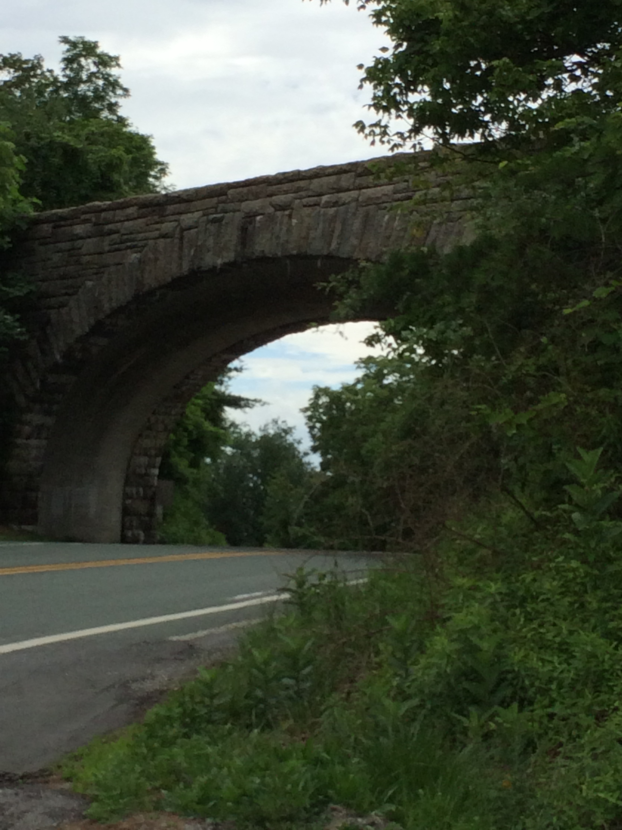
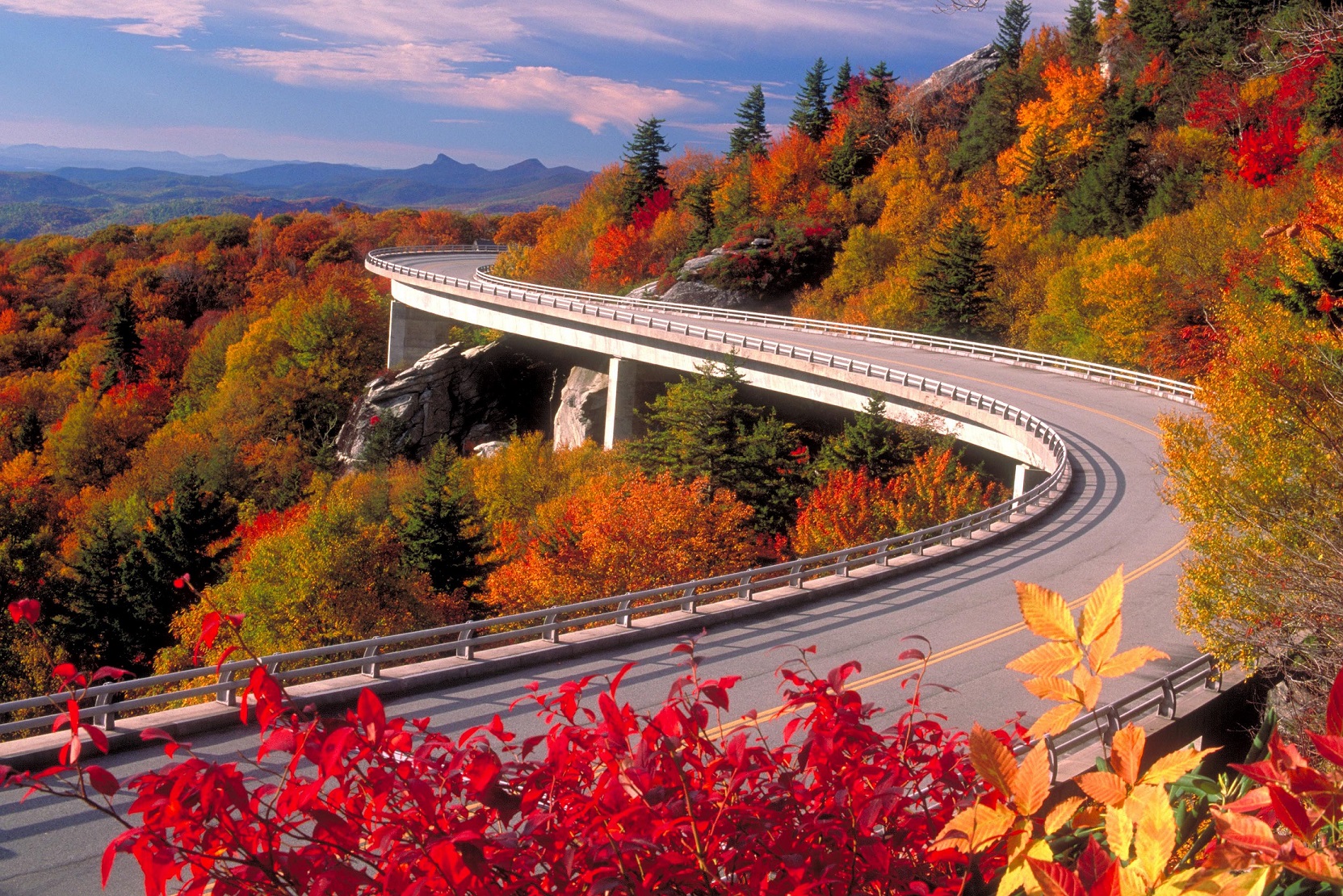
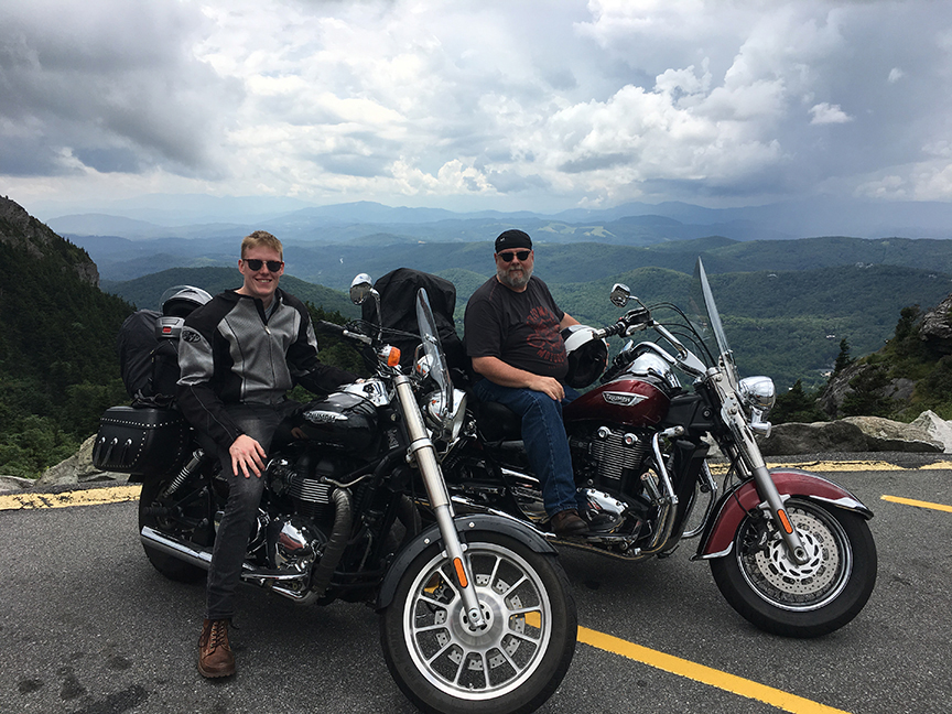
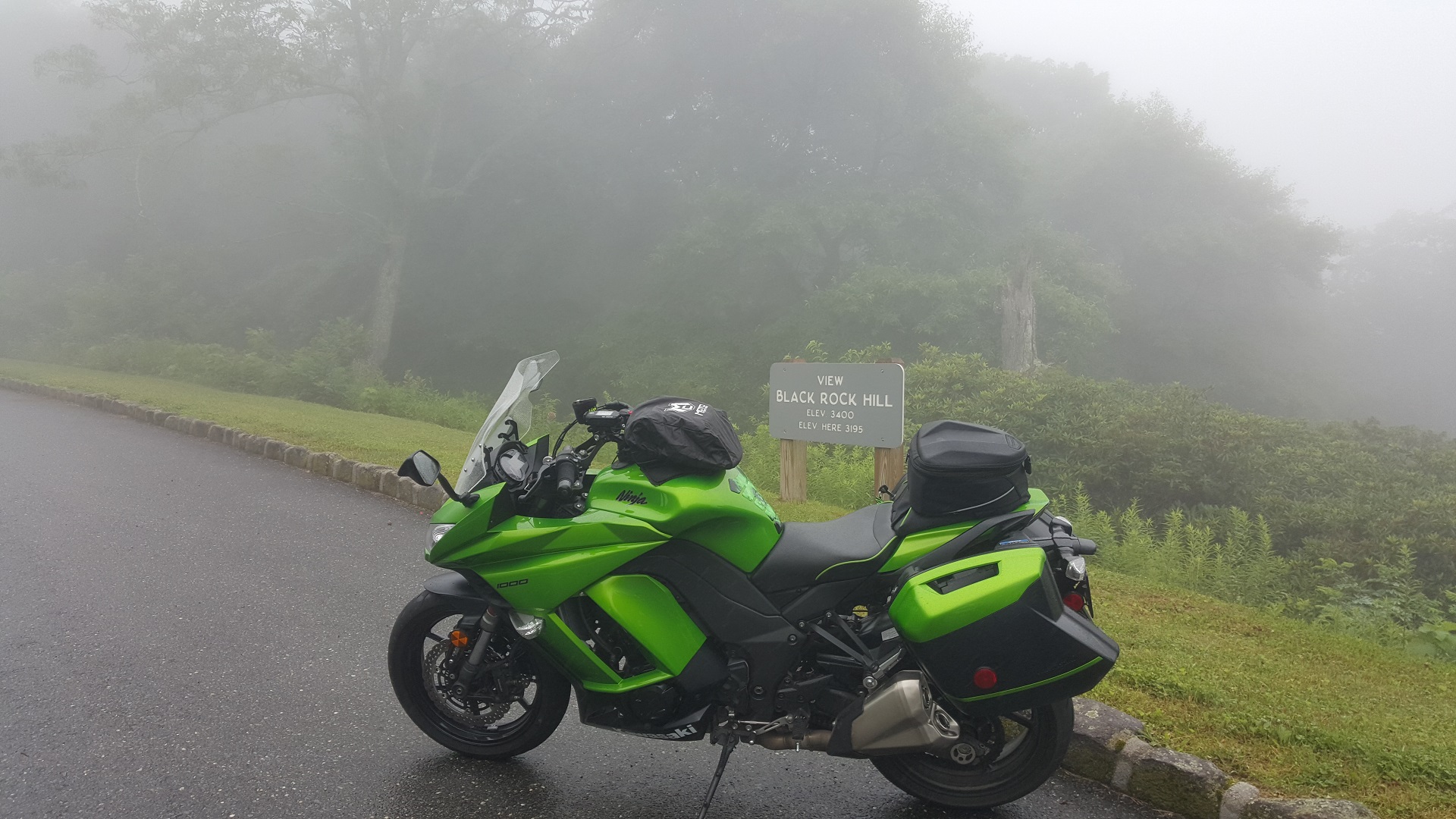
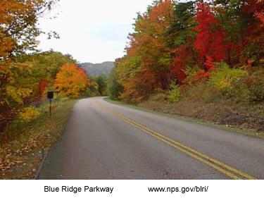
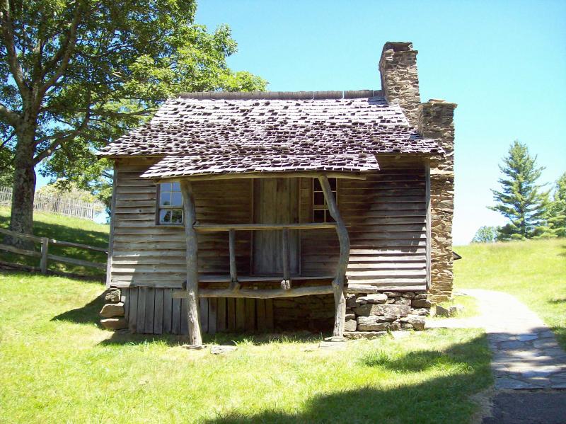
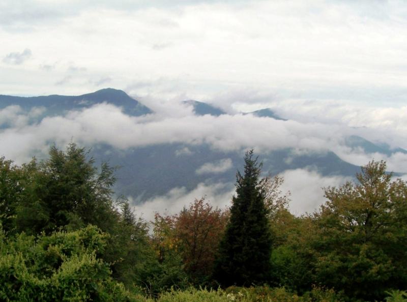
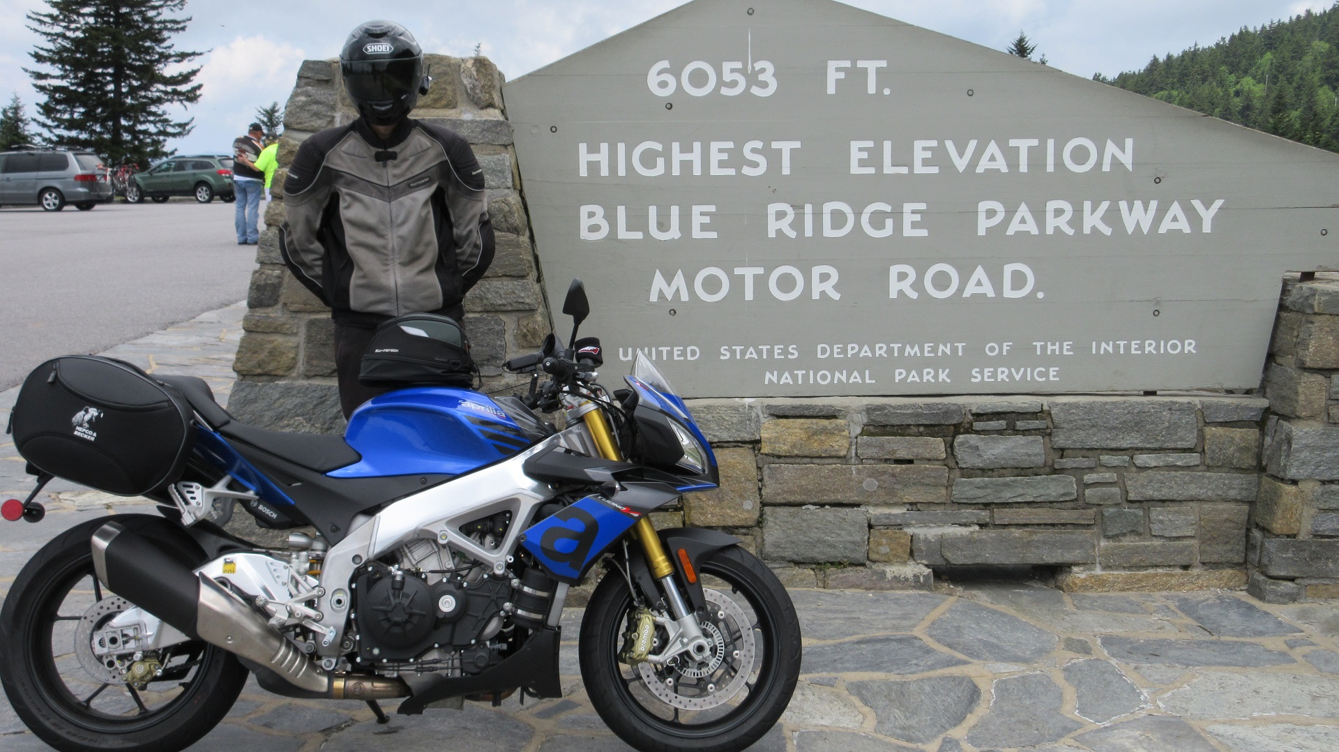
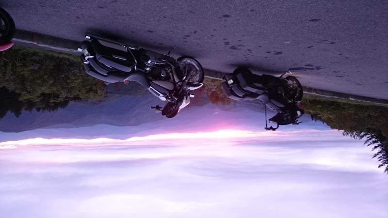
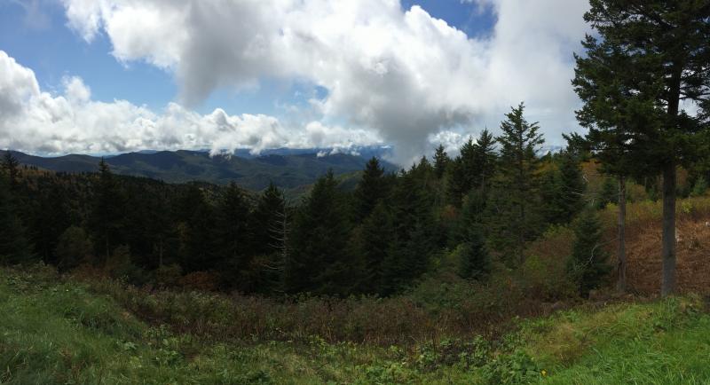
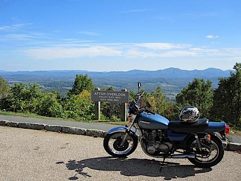
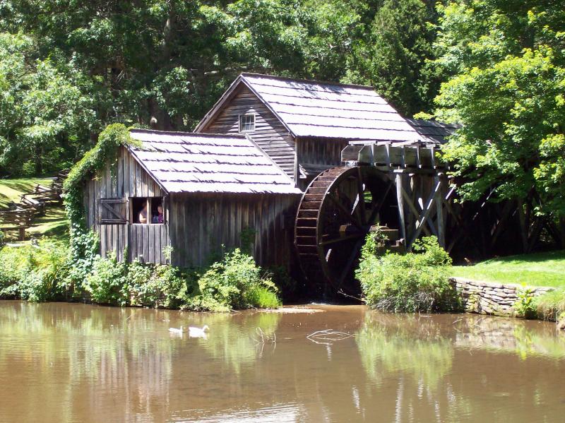
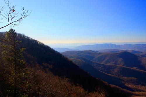
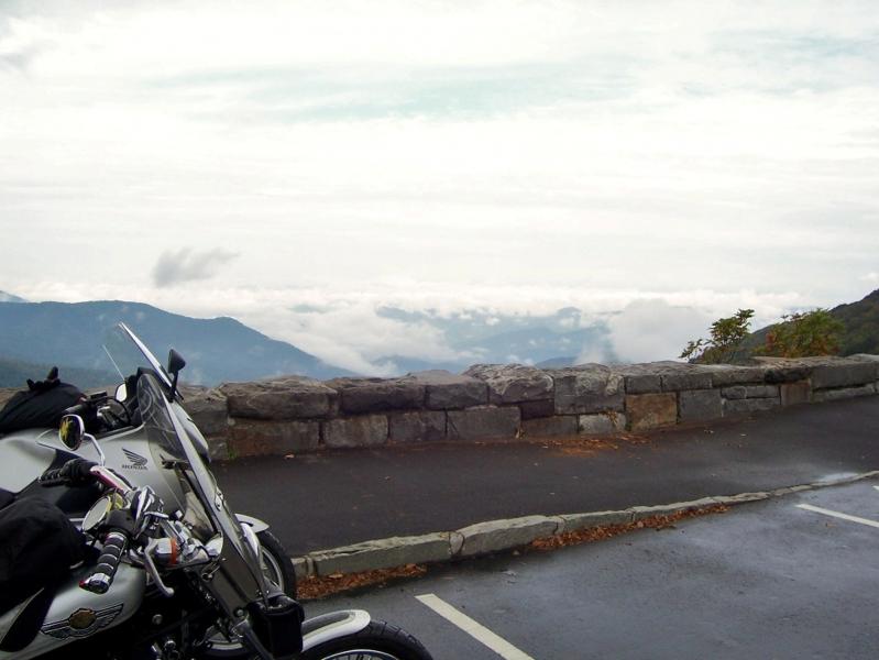
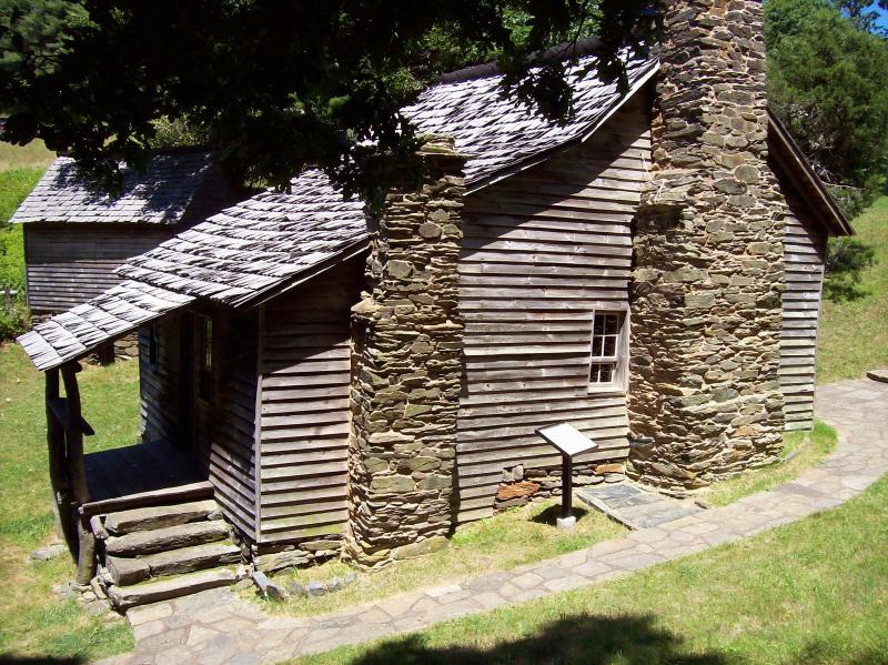
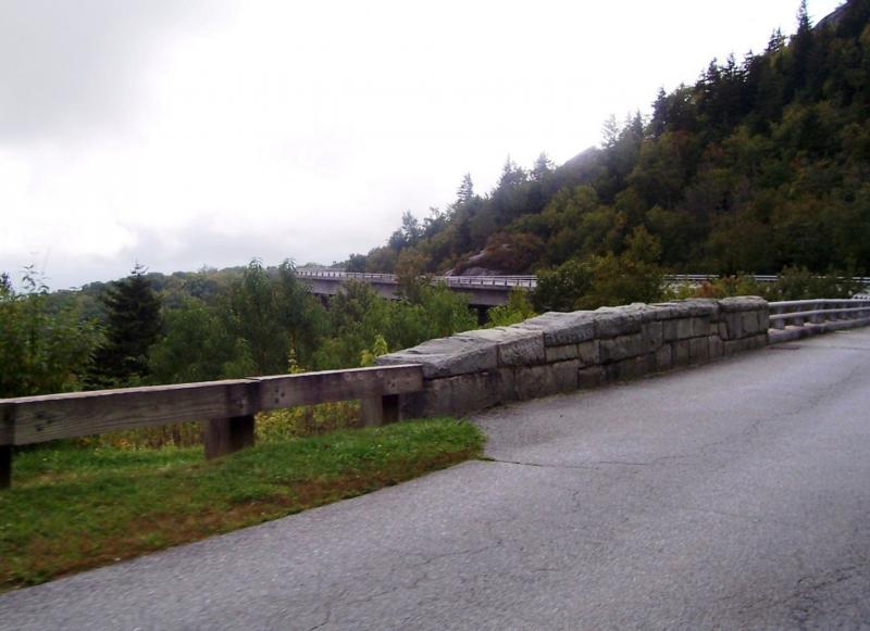
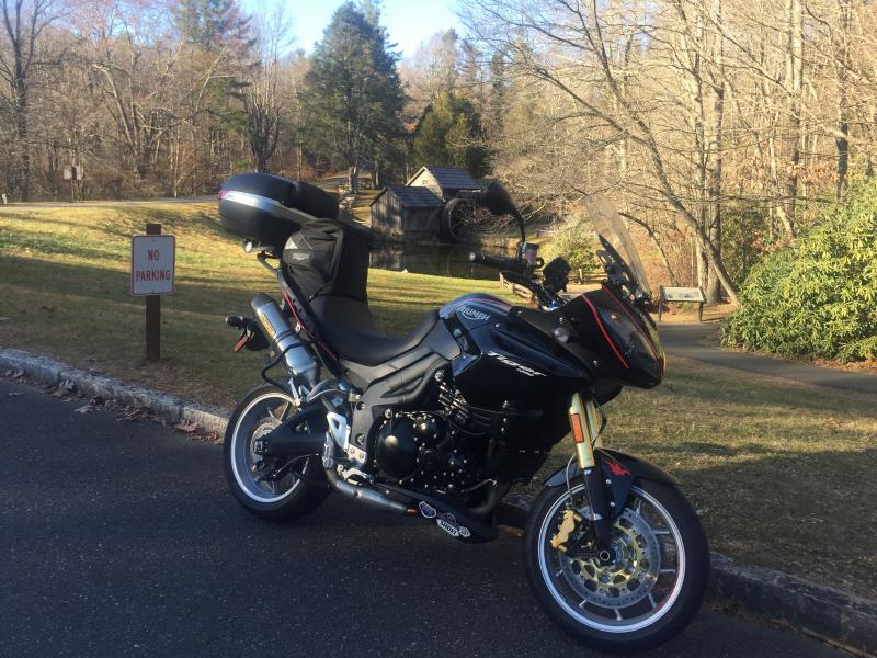
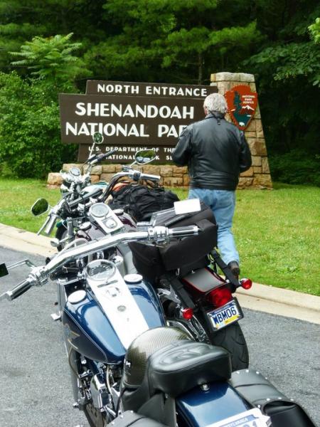
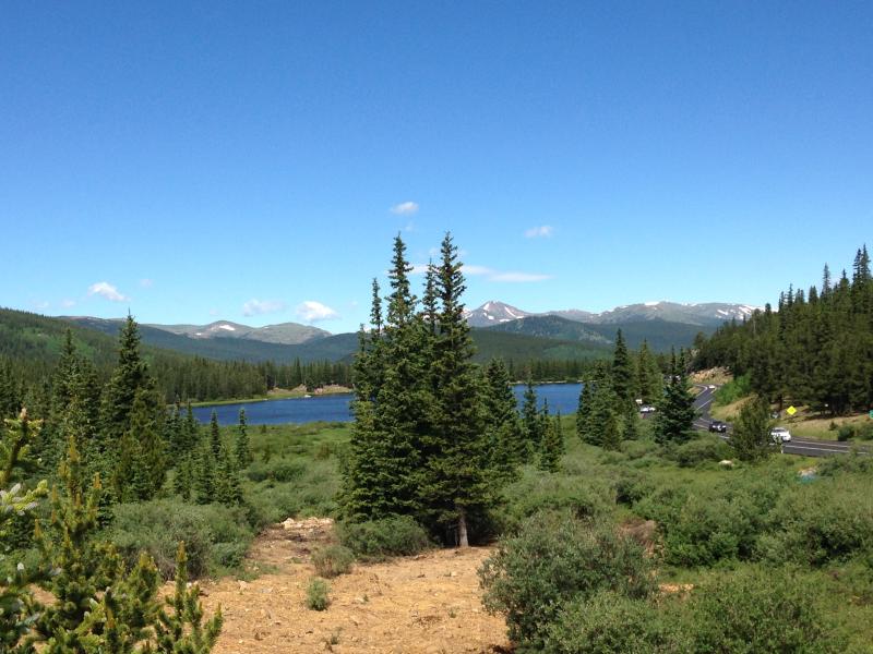
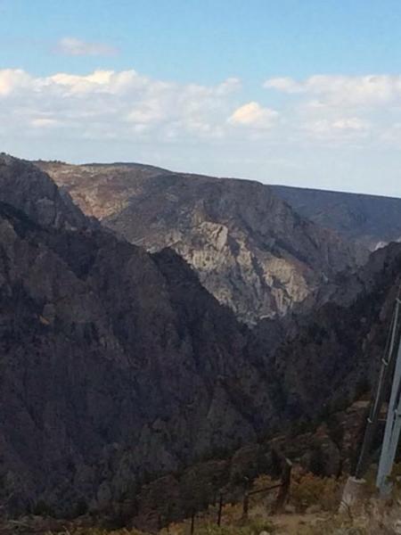
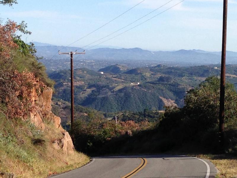
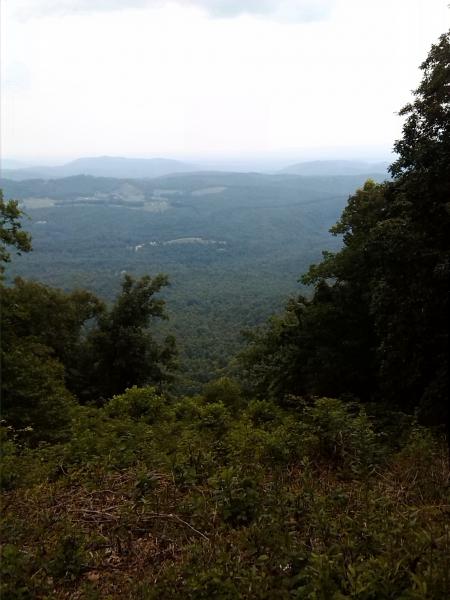
The upper half (the longer of the two halves) of this road runs from Afton VA, (near Waynesboro and Staunton, VA) south till it intersects I-77. This part of the road ambles through the Virginia country side with several sites to stop such as an old mill pond with a working millwheel and some Civil War battle sites.

The lower half runs from I-77 (near a VA town called Fancy Gap) to Cherokee NC. This part of the road is mostly in the great Smokey Mountains of North Carolina. There are numerous overlooks to view the beautiful Smokey Mts. as well as several outstanding places to see such as blowing rock and an old plantation house turned into a craft house. The part below Ashville NC is perhaps the most awesome Mt views anywhere in the eastern part of the country and terminates at the Cherokee Indian reservation where a museum and an outdoor drama are well worth seeing. The federal government hosts a very nice informational website covering the Blue Ridge Parkway.

Drive Enjoyment

One of the best parts of this road is the limited access. The only trucks ever encountered are the few service truck that service the two service station/restaurant areas along the parkway. Another plus is the 45 mph limit that allows you to see the surrounding scenery with out so much risk of having an accident. The road itself is very well maintained and the many curves are gentle.

Tourism Opportunities

There is one service station/restaurant area on each half of the parkway. The upper one also has a Mt motel that is very reasonably priced but doesn't offer TV. There are several pull off areas where numerous sites can be viewed. There are no signs along the parkway so it is a good idea to try to have a map so that you can tell where the small towns are along the way and where food and lodging are available.

Motorcycle Road Additional info

The Blue Ridge Parkway, follows a very meticulous winding path from Afton, Virginia down to Cherokee, North Carolina. It is such a winding path that it exceeds the number of way-points allowed by our mapping system and so I refer you to the official US government Blue Ridge Parkway Map. - You can read an interesting FAQ about the Blue Ridge Parkway. - View the weather forecast for this area from Yahoo weather . - Virginia Historical Society - Virginia Civil War Battlefields
 

Top Images

Share Your Comments ( 138 )
  Earn McR Points
No Image Found
Dawg75
March 13, 2021
55 McR Points
Motorcycle Type : Touring
Beautiful vistas and great road surface. Weather can be different on the ridge than in the adjacent valleys. So many good segments to ride at different trips or make the whole Parkway your trip. Try connector roads as well! Some gas and lodging nearby.
Was this road review helpful?
Thumbsup
0 riders found this road review useful
No Image Found
Milatech
October 3, 2021
50 McR Points
Motorcycle Type : Touring
Beautiful mountains and scenery!
Was this road review helpful?
Thumbsup
0 riders found this road review useful
rtcoker
January 26, 2020
197 McR Points
Motorcycle Type : Sport - Touring
Over the years I have ridden this many times. In both directions. The whole length. Spring is great, but fall is better. Summer is actually a great time to enjoy the road and in the middle of the week it's not very crowded. Fall is the busiest (leaves changing color). The southern section is the most dramatic from Cherokee, NC to Asheville, NC. Highest elevations, steepest grades, tighter curves and many tunnels. Plenty of pulloffs and overlooks for the fantastic views of mountains dozens of miles off in the distance. Fog in the valleys with blue and purple hues of the slopes and far off ridges. You will see bear, boar, turkey, fox, deer, Elk, coyote, hawks, owls, all from the seat of your bike if you look. North of Asheville is a heavily wooded section up to Blowing Rock replete with lakes, Evergreens, Rhododendron, Mountain Laurel and azaleas, all in bloom between May and Fourth of July. Plenty of campgrounds along the route about every 50 miles, both NPS and private. The northern end of the Blue Ridge is right across the road from the southern terminus of the Sky Line drive (through Shenandoah National Park) which goes another 120 miles to (almost) Front Royal VA. So, basically you can ride from the Smokies to outside Washington DC without any traffic lights or stop signs, all along 600 miles of beautiful scenery. NPS police patrol and can be sticklers about speed limits especially in reduced speed limit areas. Put this on your bucket list for a wonderful trip and time riding. If you can't do the whole thing, at least get in the southern 100 miles between Cherokee and Asheville.
Was this road review helpful?
Thumbsup
0 riders found this road review useful