Written Directions
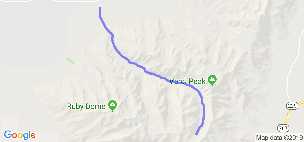
From Elko, NV - take State Route 227 (Lamoille Highway) southeast approx 20 miles. You will pass through the town of Spring Creek.
Approx 1 mile before the town of Lamoille, NV, "Lamoille Canyon Road" (NF-660) turns south. There will be signs reading "Lamoille Canyon Rec. Area."
The road is paved for the next 12 miles, ending at a large turnaround with numerous parking spaces.
Scenery
Lamoille Canyon is described as Nevada's Yosemite, the Grand Canyon of Nevada, or the Nevada Alps. The road begins in the valley at 6000' and curves along the bottom of the glacier carved canyon to the turnaround at 8,800'. The surrounding mountains tower over the canyon, with peaks exceeding 11,000' and dropping sharply down on either side of the long valley. Lamoille Creek flows along the roadway in places and there are several turn outs available for pictures. The forest service has placed interpretive panels to highlight the abundant wildlife, geology, waterfalls, and plant life that fill the canyon. Thick groves of aspen also grow along the roadway in places, providing shade and vibrant color.
Drive Enjoyment
The road is primarily straight - though almost at a constant curve as it climbs the crescent canyon with a few areas of moderate sweepers. Pavement is ok, old but maintained with a few patches of repair work.
Tourism Opportunities
Primarily a hiking, camping, and fishing area, there are limited facilities in the canyon itself. A restroom is located at the end of the road at the turnaround. However the communites of Elko, Spring Creek, and Lamoille have shopping, restuarants, lodging, and fuel.


 | United States")


 Write a review


 | United States")


- Ranch Roads 335, 336,337a | United States")


 | United States")


 | United States")
 | United States")


