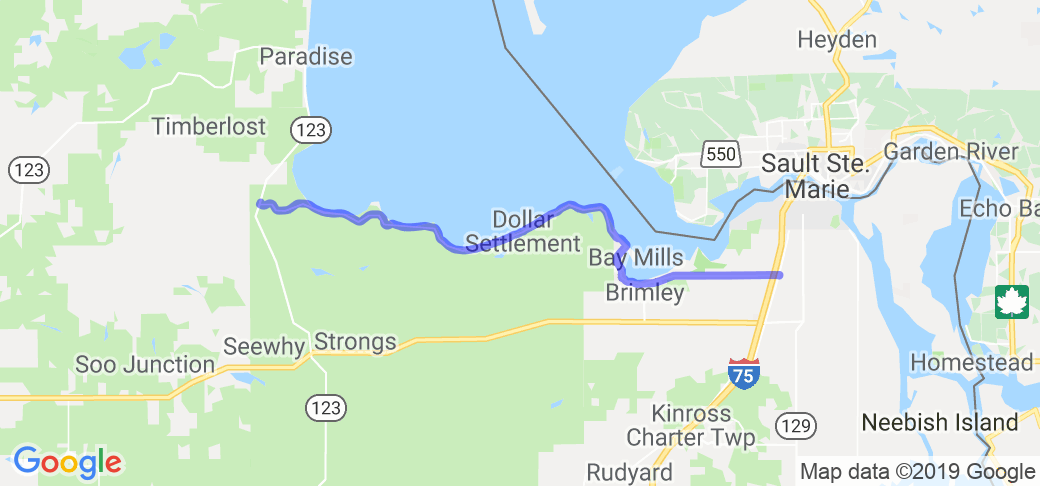
Overall Route Rating
speedo-meter speedo-arrow
speedo-meter-grey
4.14 out of 5 Rider Rating 4.14
7 Reviews

Motorcycle Route Author

profile Image
By rmitch (5 McR Points) on Aug 25, 2012

Rider Reviews

No Image Found
MatthewC65
6 McR Points
August 14, 2015
When planning a trip to the Mackinaw Bridge/ Soo…
Thumbsup
No Image Found
MelL
February 25, 2015
Ties in nicely with a Lake Michigan circle tour.…
Thumbsup

Written Directions

Starts or ends 11 miles south of paradise on M-123 Starts or ends 6 miles south of sault ste marie at intersection of 6 mile road and mackinaw trail.

Scenery

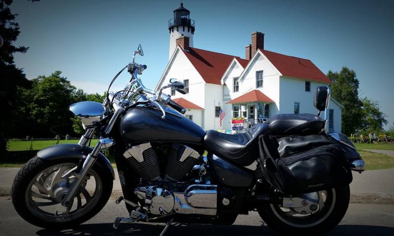
Travels the shore of whitefish bay, with a number of federal turn outs for viewing the shoreline of whitefish bay. Other things on the way are mission hill, and Point Iroquois Lighthouse.

Drive Enjoyment

Its a quiet country road, it has a grassy shoulder with few to no stones. Surface has some cracks that are well maintained.Has some nice curves, and small hills.

Tourism Opportunities

There are two nice federal picnic areas, with access to the beach, a light house looks to be a nice place to check out, and goes through Bay mills indian reservation, and Town of Brimley, which contains a state campground.
 

Top Images

Share Your Comments ( 7 )
  Earn McR Points
Funrockel
July 21, 2020
36 McR Points
Motorcycle Type : Cruiser
make this ride a couple times a year. love the view. Road side stops for picnics / scenic photos / etc...
Was this road review helpful?
Thumbsup
0 riders found this road review useful
No Image Found
hooliganjay
July 22, 2020
73 McR Points
Motorcycle Type : Touring
road is a little ruff. but a nice ride make sure to head to Paradise and white fish point!!
Was this road review helpful?
Thumbsup
0 riders found this road review useful
No Image Found
leenieann
April 8, 2021
18 McR Points
Motorcycle Type : Cruiser
Very quiet relaxing ride along the shore of Lake Superior. Lots of places to stop for a picnic or just to rest.
Was this road review helpful?
Thumbsup
0 riders found this road review useful