Written Directions
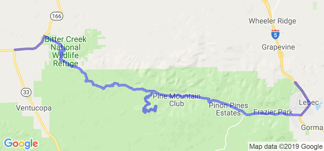
Starting from the intersection of 166 and 33, head east on 33 to 95 also called the Hudson Ranch Road. You will be in the BItter Creek National Wildlife Refuge. Turn south on Hudson Ranch road and proceed through the desolate and twisty roads about 21 miles and you will see the right turn to Campo Alto. You will see a rural fire department on the right, and you'll head up the hill 7.8 miles to the actual campground. To return, you go back down the hill to Hudson Ranch Road (95) and head east through Pine Mountain, Cuddy Valley, Lake of the Woods and finally hit Interstate 5.
Scenery
Starting from high desert valley, you head up into mature old pine forests. Great open views where you can see for miles. Campo ALto is 8172 feet elevation. Then when you head east through the Pine Mountains, that is a forest section of small towns, valleys and trees before being dumped out at Interstate 5. Plan some time to stop and look around on the way UP to the campground; some really fantastic scenery.
Drive Enjoyment
It's a great road, but be cautious on the 7.8 miles up to the campground; lots of pine needles on the road and pinecones. I'm not sure if the 7.8 miles to the top is open year around; I was there in October and it was open.
Tourism Opportunities
The beginning (west) end is pretty sparse, but after you get a bit east, after visiting the campground, there are numerous options. Outhouses at the campground. No fuel until you get east of the campground.


 | United States")


 Write a review


 | United States")


 | United States")


 | United States")


